A multi-day hike below Germany’s Highest Peak
The train slowed and finally lurched to a late afternoon halt in Mittenwald, a small town between huge mountain peaks on the German-Austrian border. This is the last stop in Germany before trains proceed south to Innsbruck. This would be the departure point for a multi-day hike into Austria around the Wettersteingebirge, the compact sub-range of the Alps containing the Zugspitze, Germany’s highest peak.

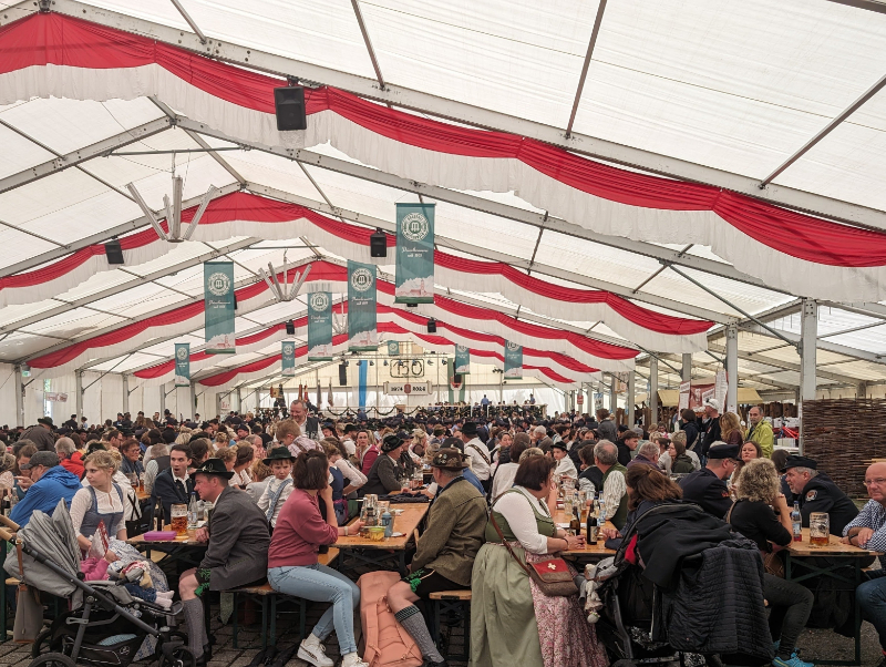
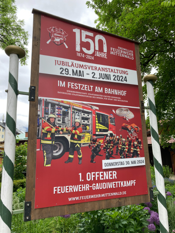
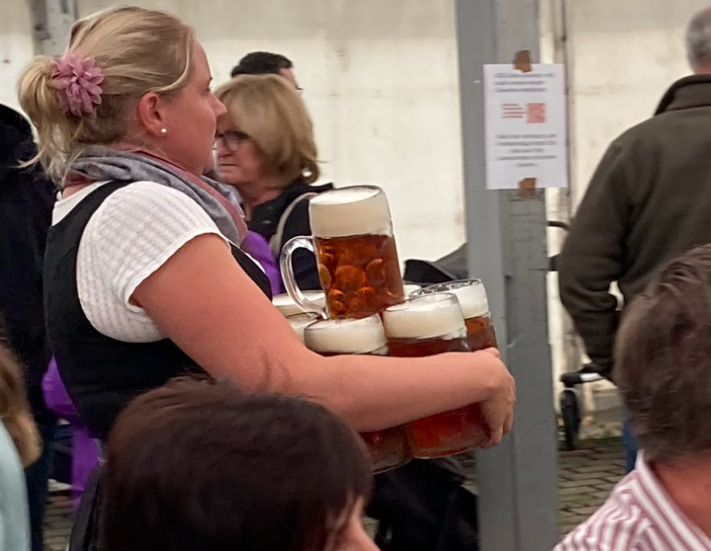
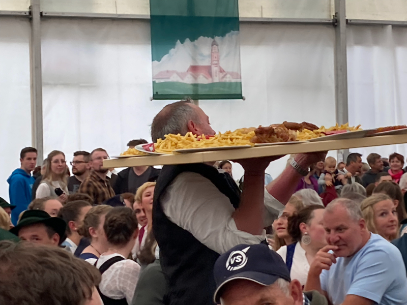
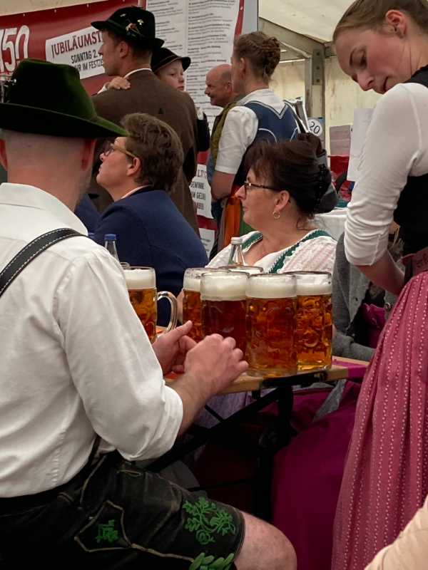
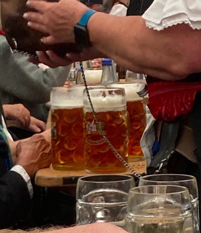
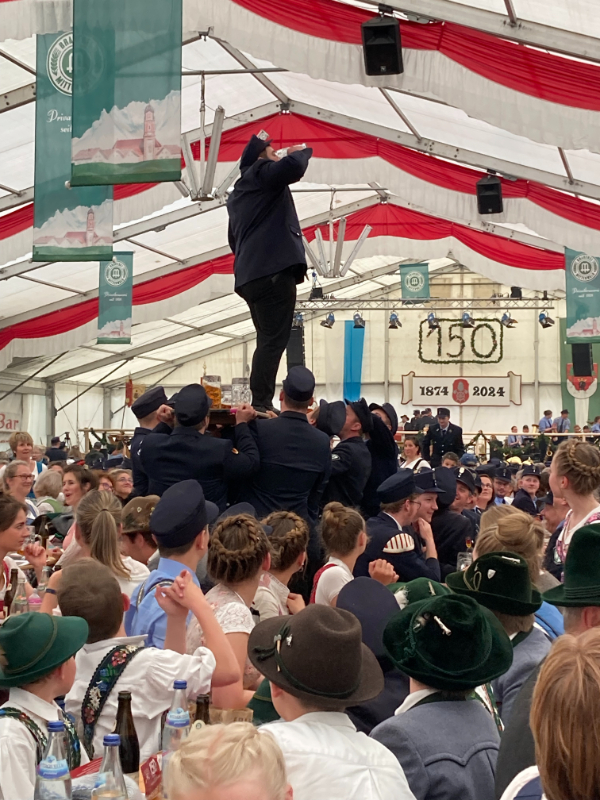
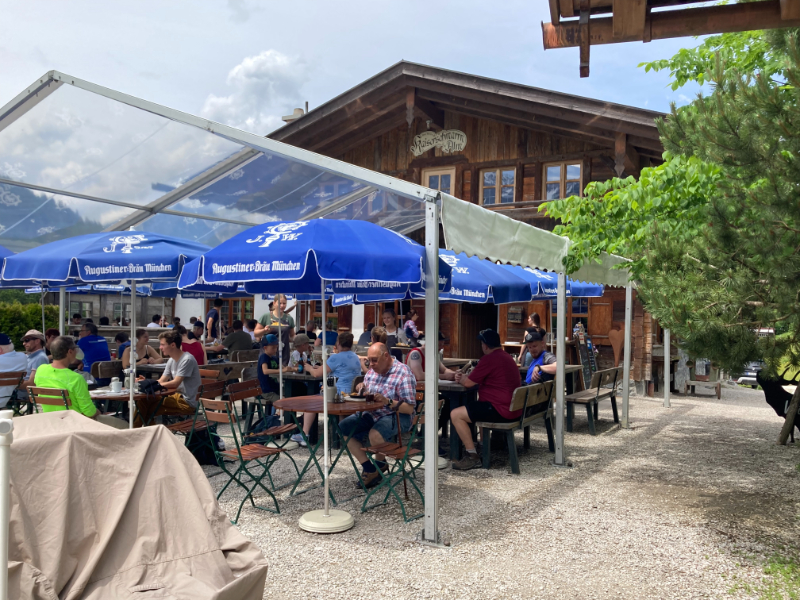
As we departed the train, we were immediately greeted with traditional music and the low roar of a crowd emanating from a giant festival tent adjacent to the station. This was an unexpected and pleasant surprise, a local event celebrating the anniversary of the town’s volunteer fire brigade. We immediately ventured into the tent to the scene of a raucous celebration, where the beer was flowing and wait staff were dealing out from giant trays of great-looking food.
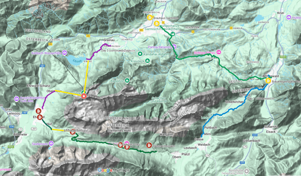
The Zugspitze Circuit is a multi-day loop around the Zugspitze, Germany’s highest peak at 2,962m or 9,718 ft. Mittenwald, Garmisch-Partenkirchen, Grainau, and Ehrwald (Lermoos), Austria, are towns along the route with train stops, so it is possible to hike the circuit beginning at any of these places, but as I enjoyed a festbier in Mittenwald, I felt great about starting from there.
This was a family hike for us, and we chose to modify the circuit and skip the leg between Garmisch and Mittenwald – we would spend extended time in Garmisch and dayhike parts of that segment. It’s generally considered an easy to moderate hiking route, suitable for those with a basic fitness level, as some of the steep ascents can be bypassed with cable car rides. We planned to walk 5 to 6 hours per day and stay at prearranged lodgings along the way. We also arranged with a service for our bags to be transported from lodging to lodging each day while we were walking with just daypacks to carry. Mid-May through mid-October are the best hiking times, although I’ve heard that there can be lots of people in the heart of summer. We went in early June, and there were no crowds on the hikes.
Although we found some operators offering self-guided packages on the route, we chose to do it ourselves. The packages we came across seemed expensive and didn’t quite match the itinerary we wanted. We wanted to hang out in Garmisch for several days after hiking the circuit and explore the Garmisch-Mittenwald stage by various dayhikes
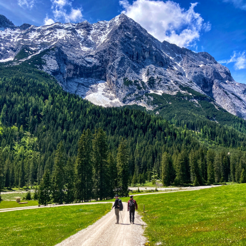
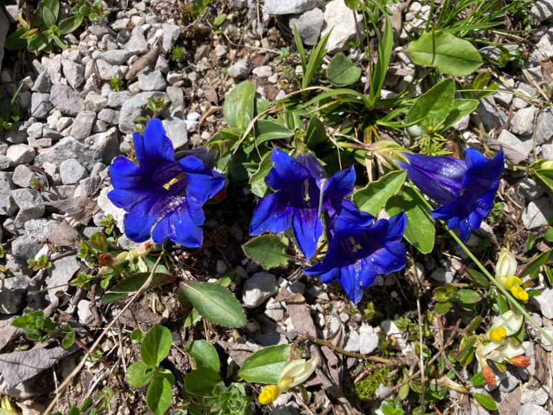
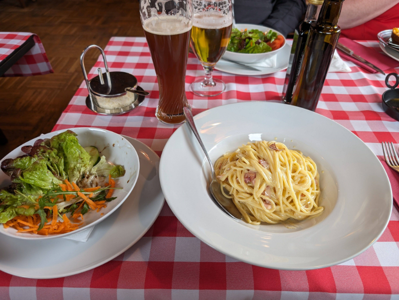
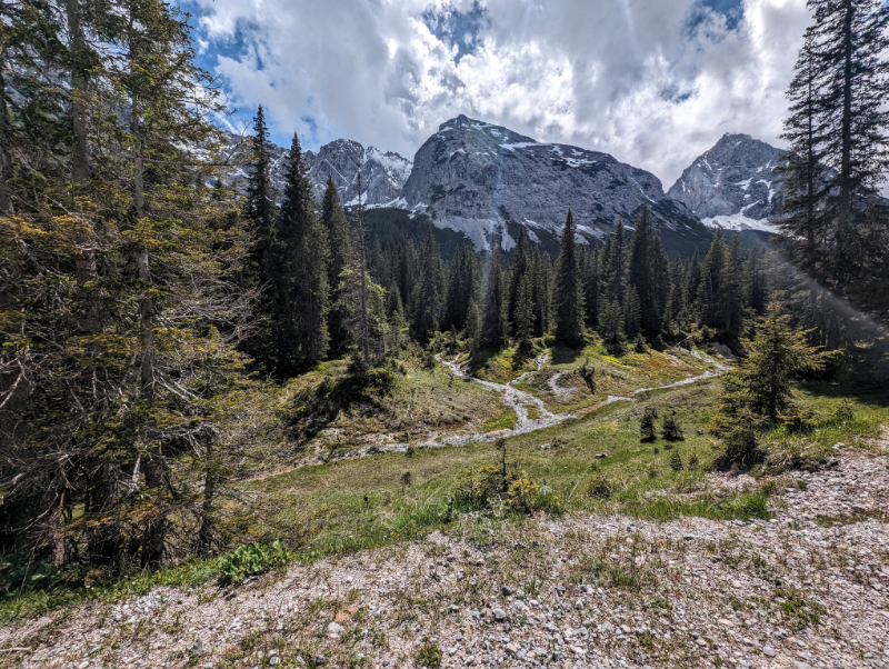
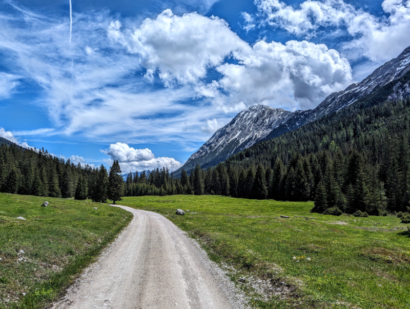
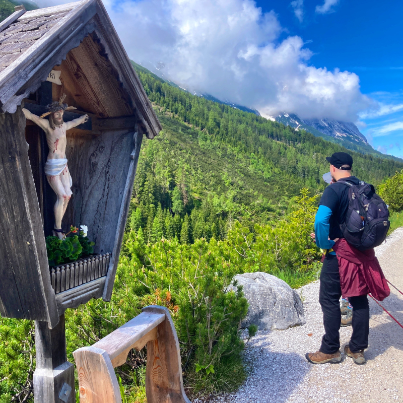
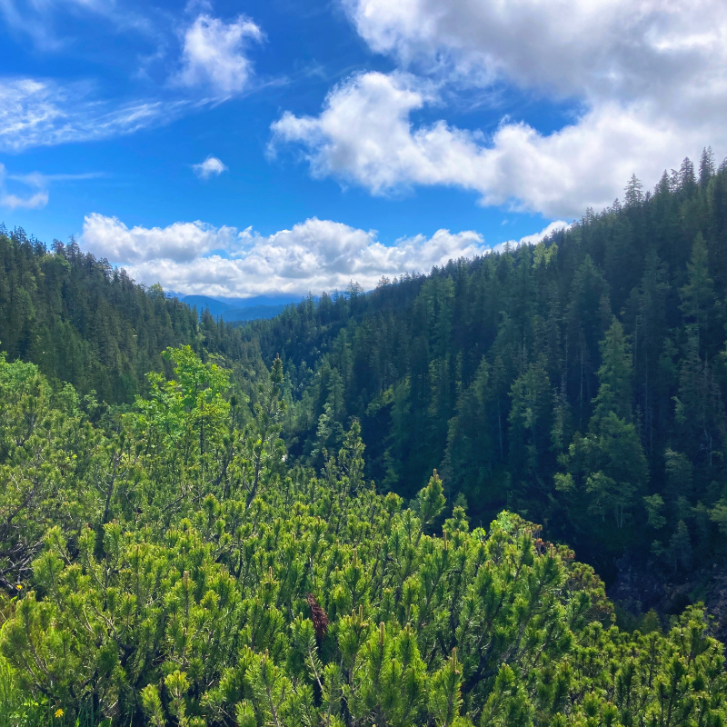
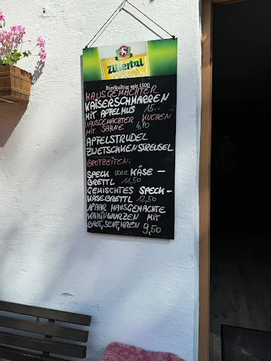
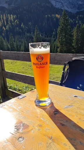
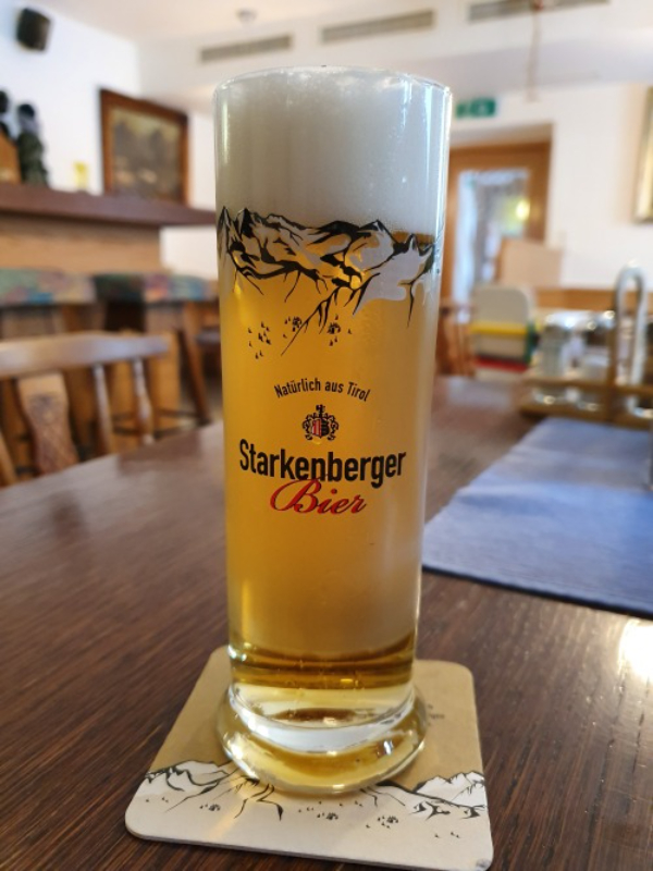
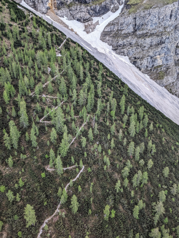
The circuit takes you through a variety of landscapes, including dramatic gorges (like the Partnach Gorge and Leutasch Gorge), lush green pastures, alpine meadows, and evergreen forests. You’ll pass through charming Bavarian villages and Austrian hamlets, with opportunities to experience local hospitality in traditional hotels and mountain inns. The route often utilizes a combination of well-maintained walking trails, forest roads, and cable car rides. The circuit crosses the international border between Germany and Austria twice -once at the base of the mountains and once on the lofty peak of the Zugspitze. The circuit features stunning views of the Bavarian Alps and the Austrian Tyrol. For fellow beer hikers, there are three breweries and many alms and mountain gastehauses for a beer along the circuit.
Breweries Along the Route
Brauerei Mittenwald Mittenwald
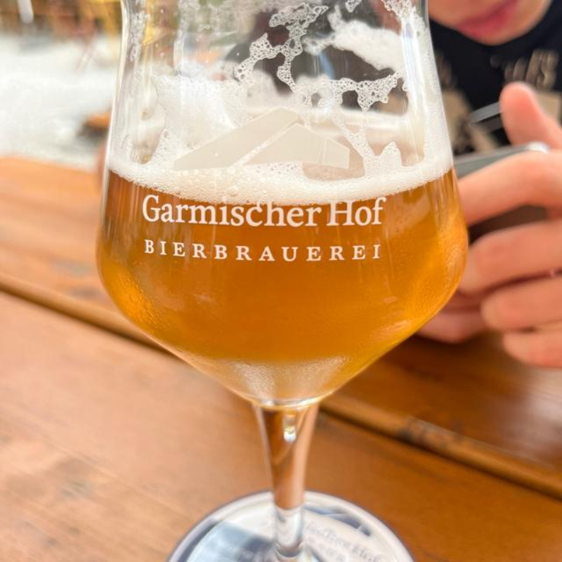
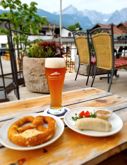
Bierbrauerei Garmischer Hof Garmisch
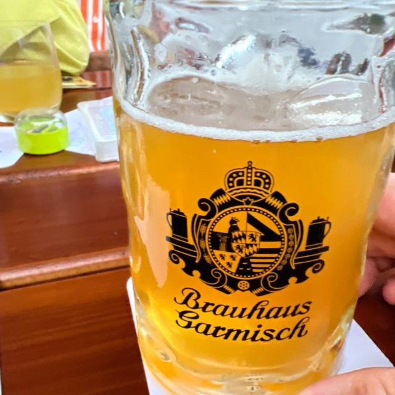
Brauhaus Garmisch Garmisch
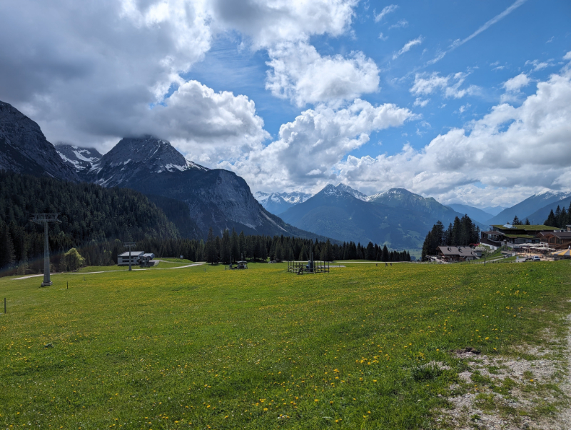
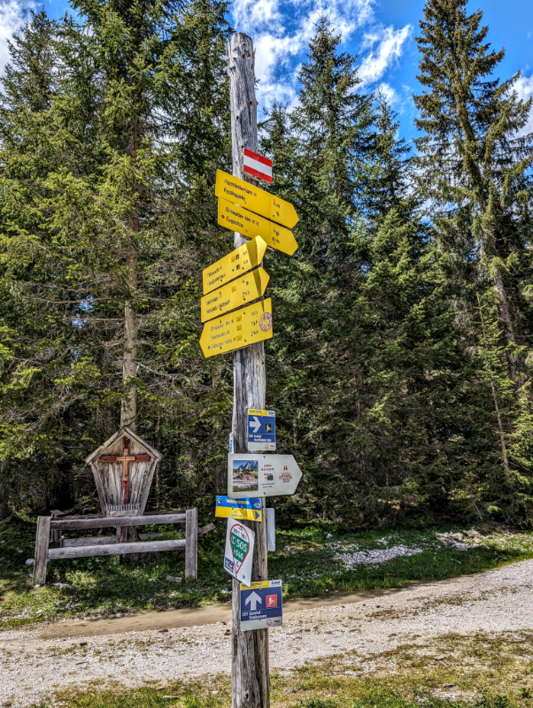
Mittenwald

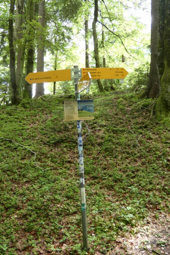
Mittenwald to Leutasch
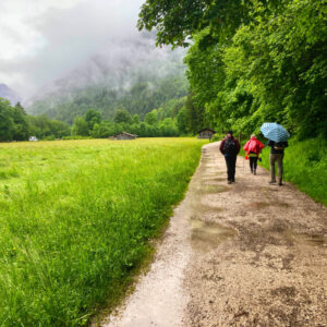
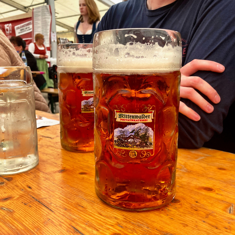
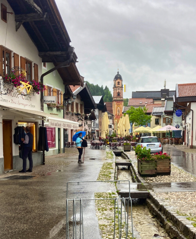
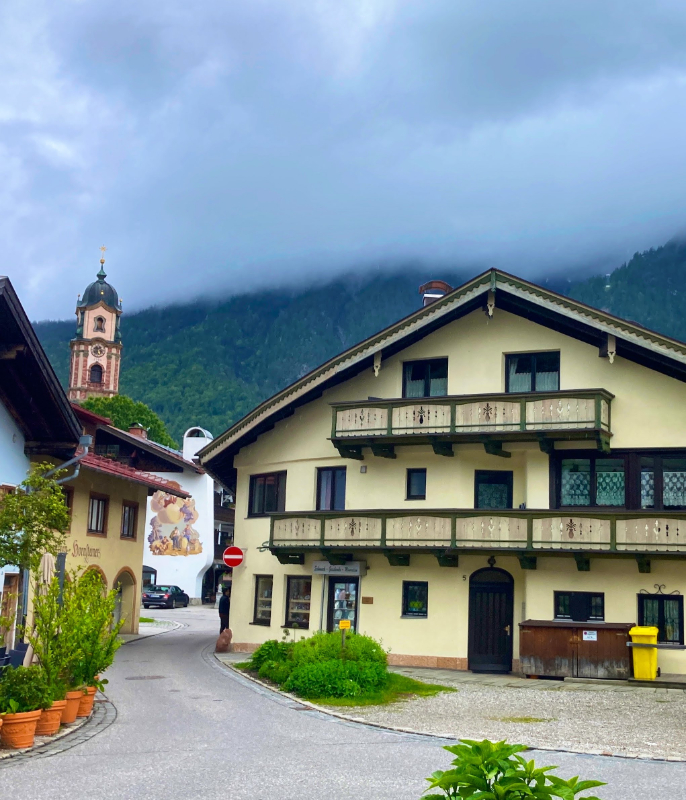
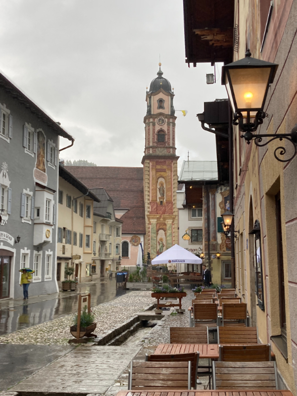
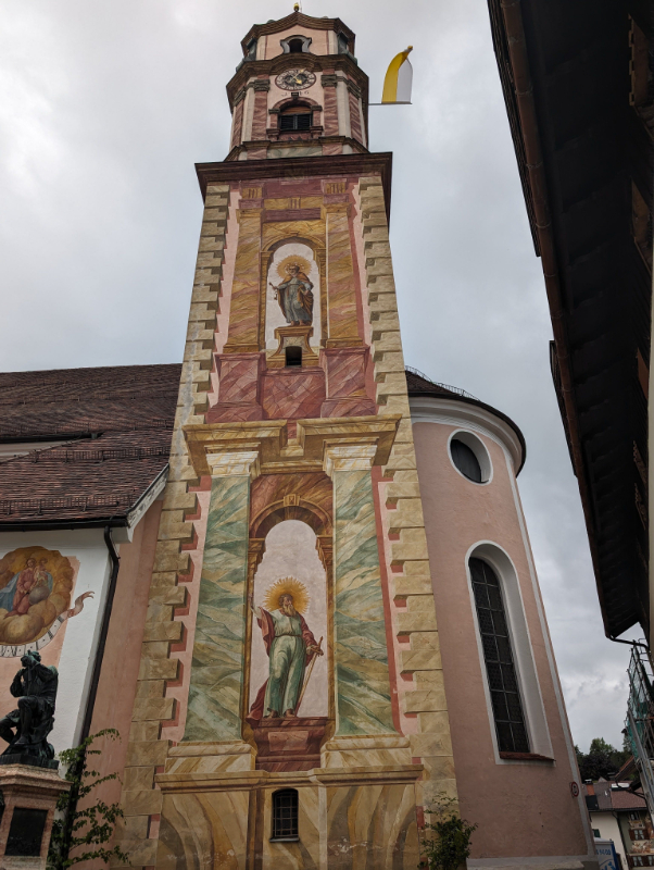
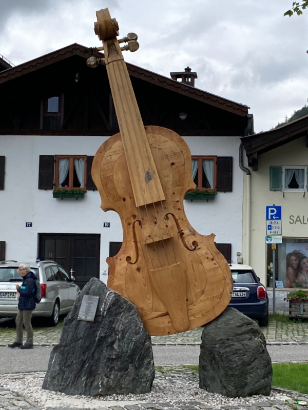
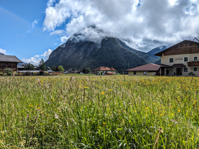
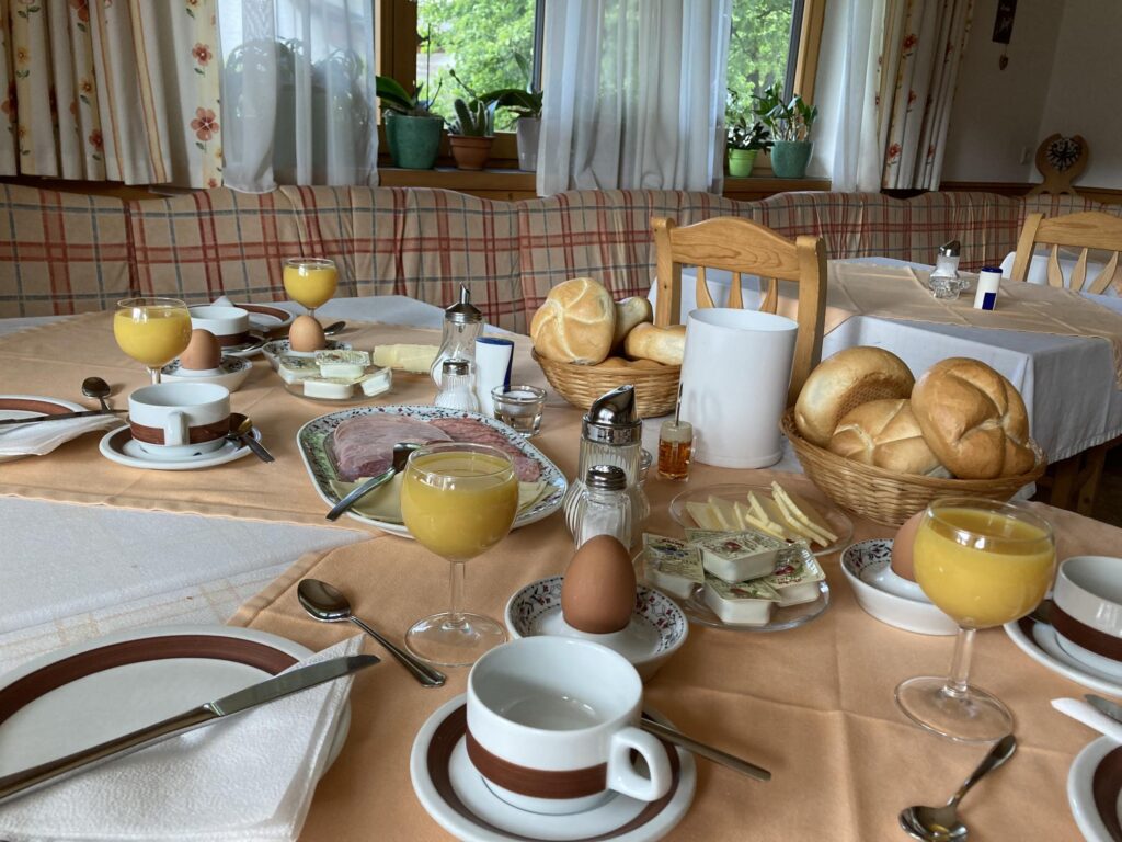
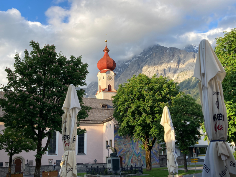
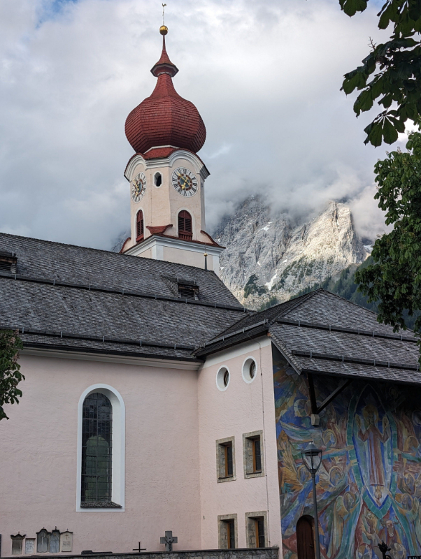
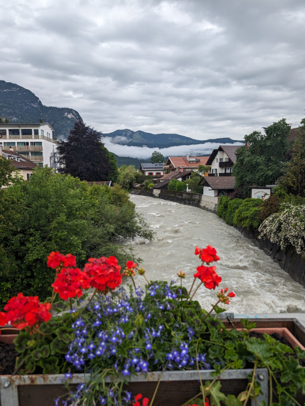
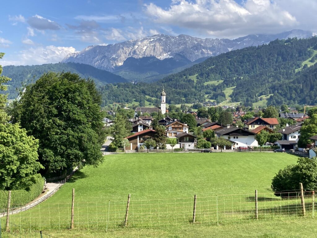
Following a festive evening and a cozy night’s sleep, we pulled out umbrellas and found breakfast in the picturesque town of Mittenwald. Mittenwald, nestled between the Wetterstein mountains to the west and the Karwendel to the east, is renowned for its centuries-old tradition of violin making and remains a hub for master luthiers, attracting musicians and apprentices worldwide. Vibrant frescoes decorate the walls of houses, businesses, and the church tower in the center. The Isar river flows through the valley from its nearby headwaters in the mountains before flowing through Munich and points beyond. Brauerei Mittenwald produces a range of fine traditional beers served around the town and at their restaurant called the Brauereigaststätte Postkeller.
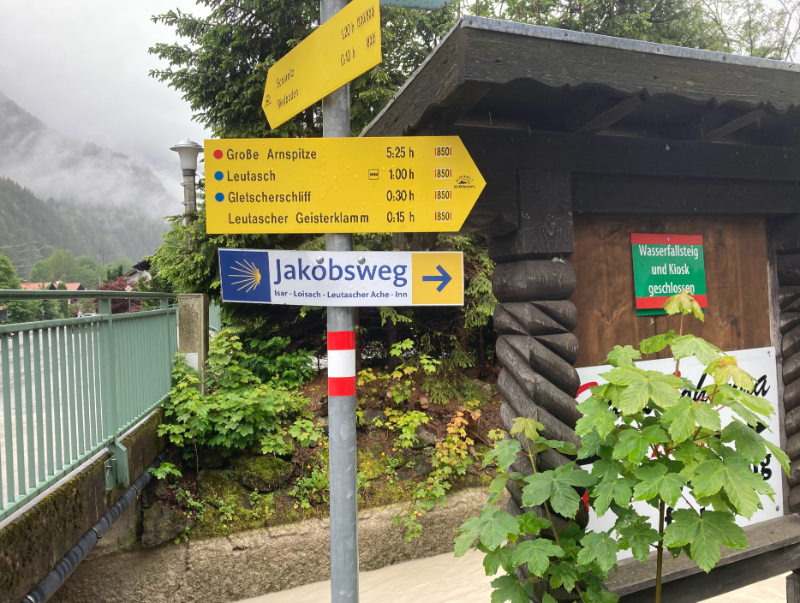
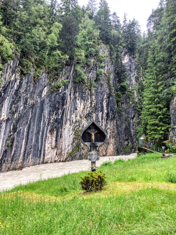
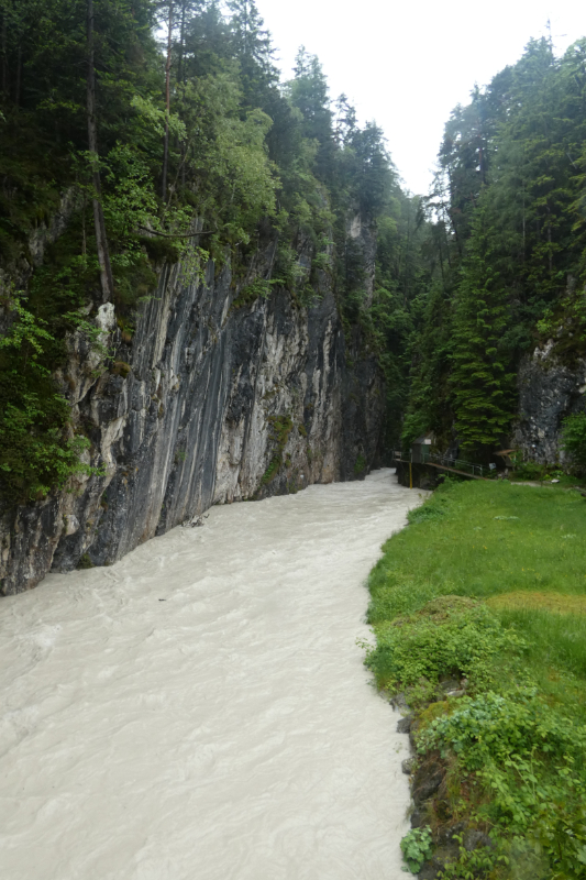
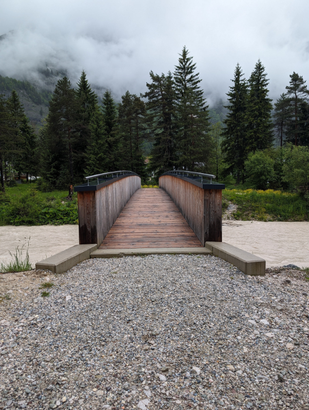
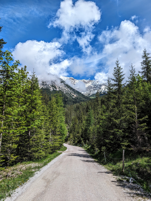
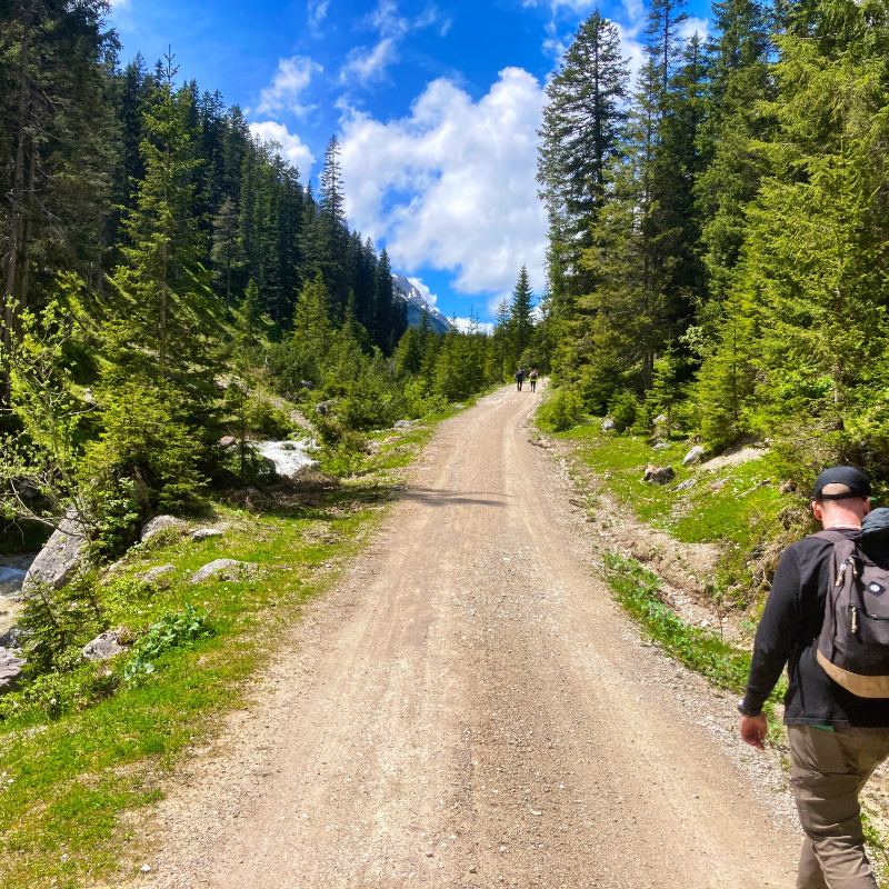
Walking south from the center, we entered the countryside quickly before turning onto a farm track just before reaching a bridge over the Isar near where a stream called the Leutascher Ache joins it. Somewhere in this stretch, we crossed from Germany into Austria.
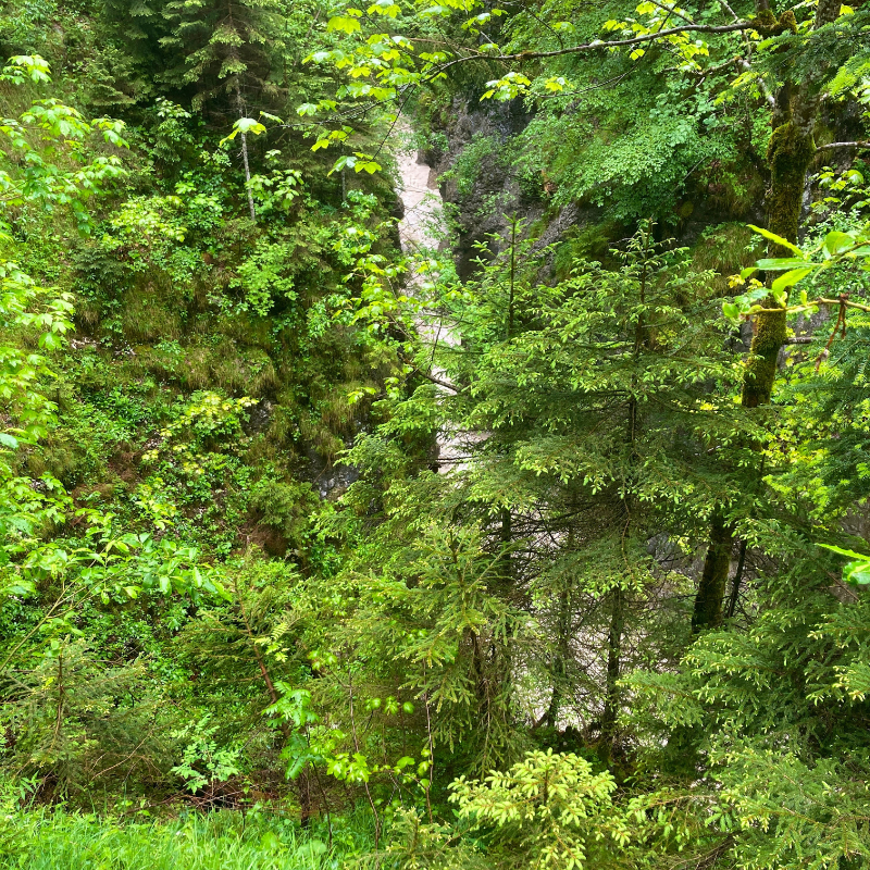
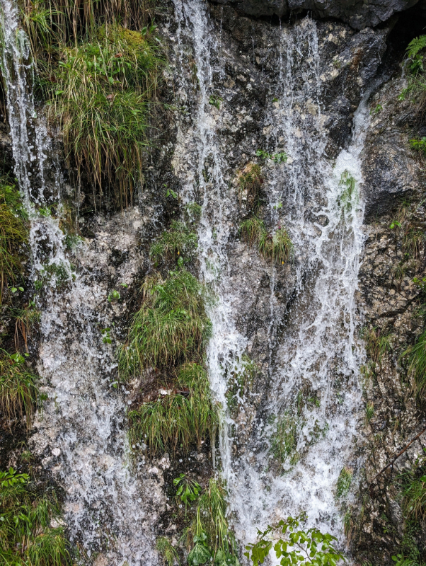
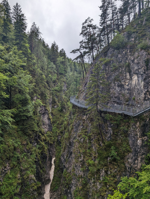
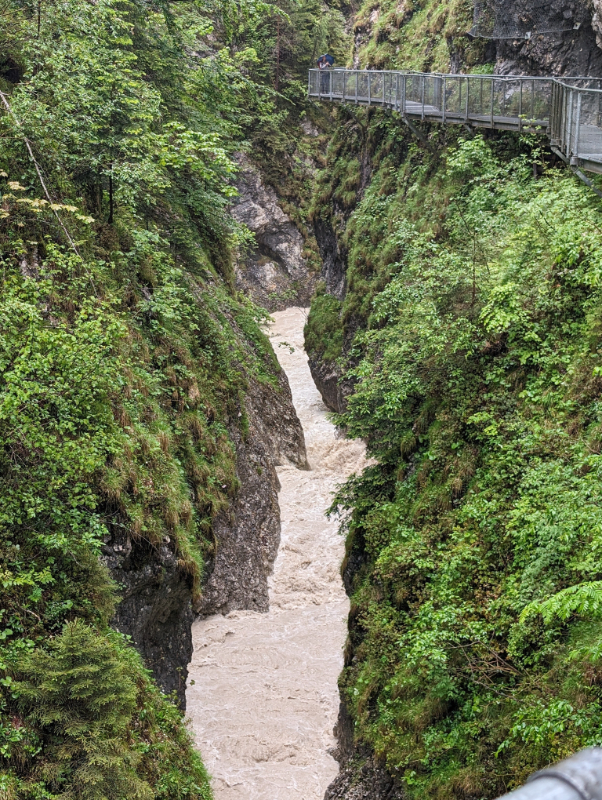
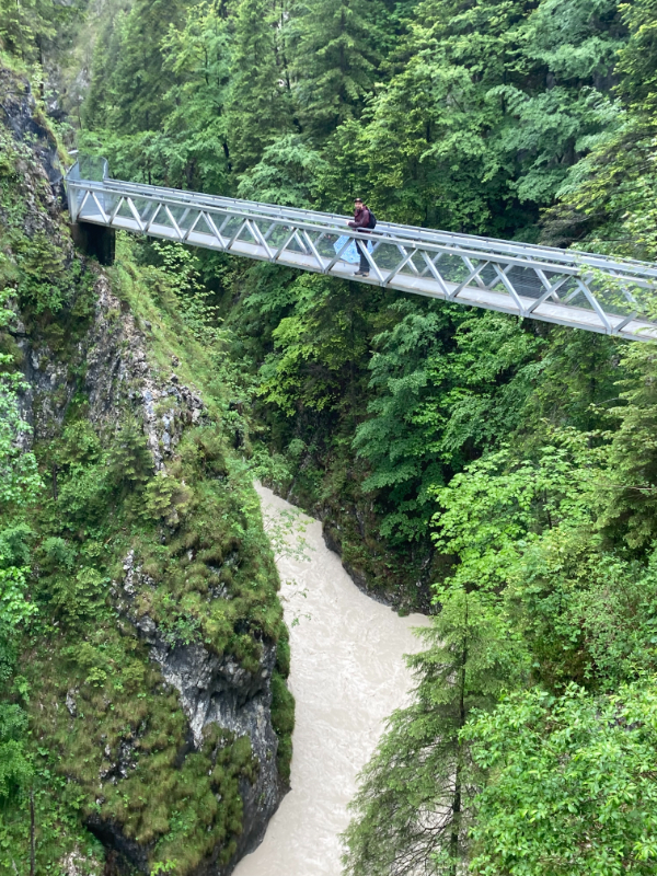
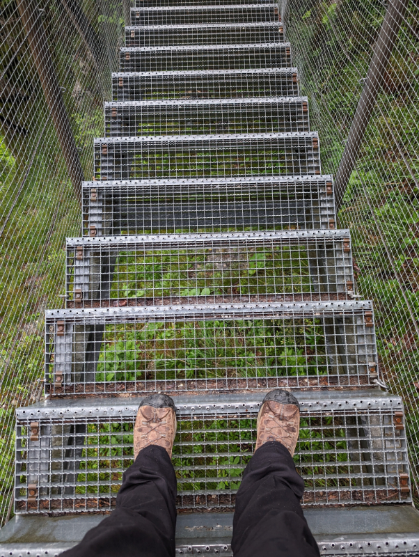
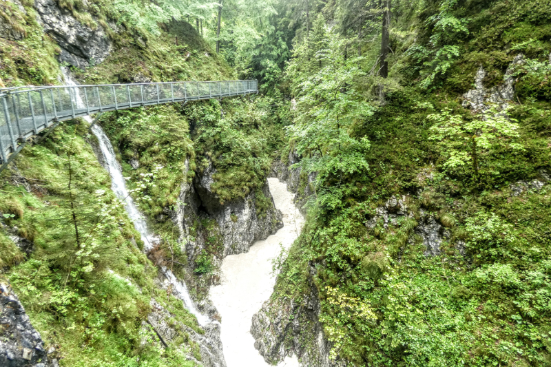
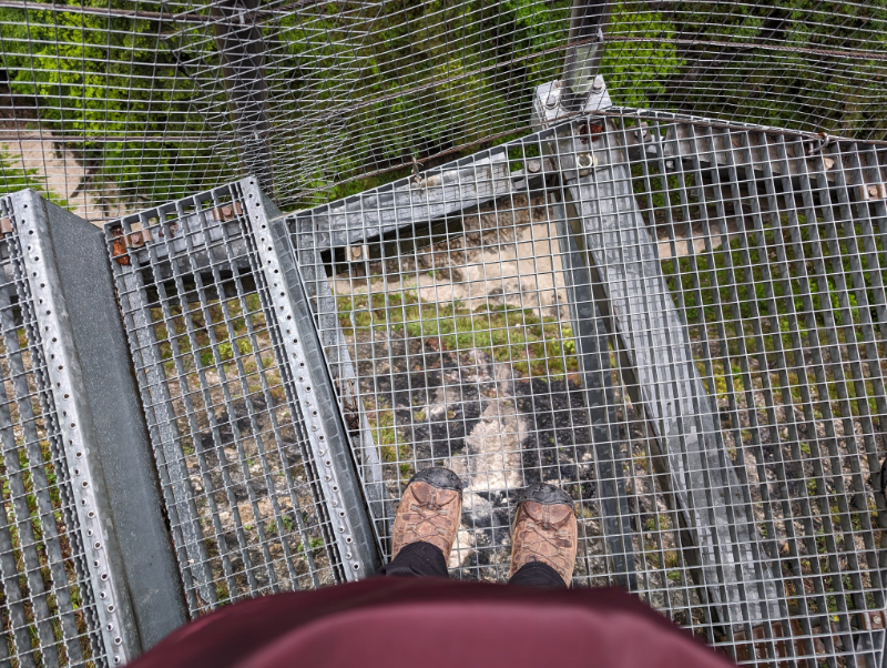
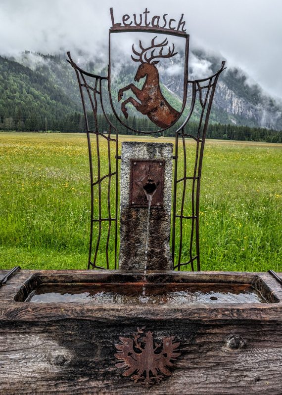
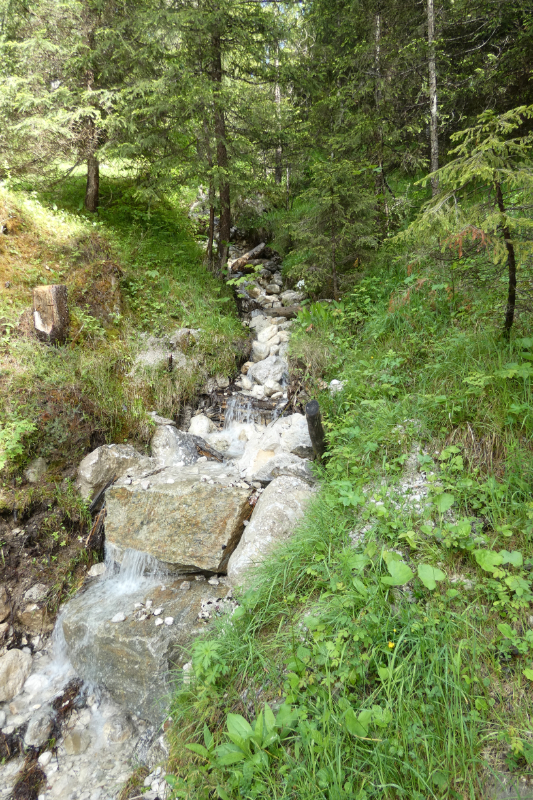
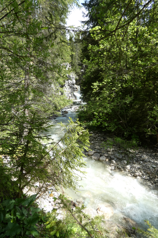
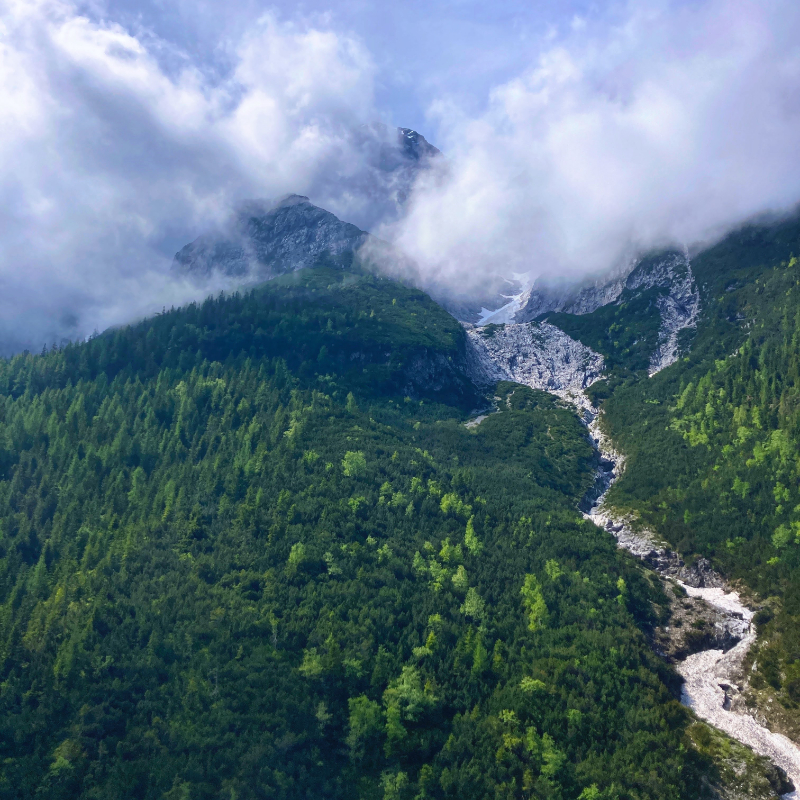
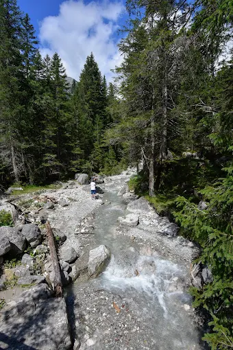
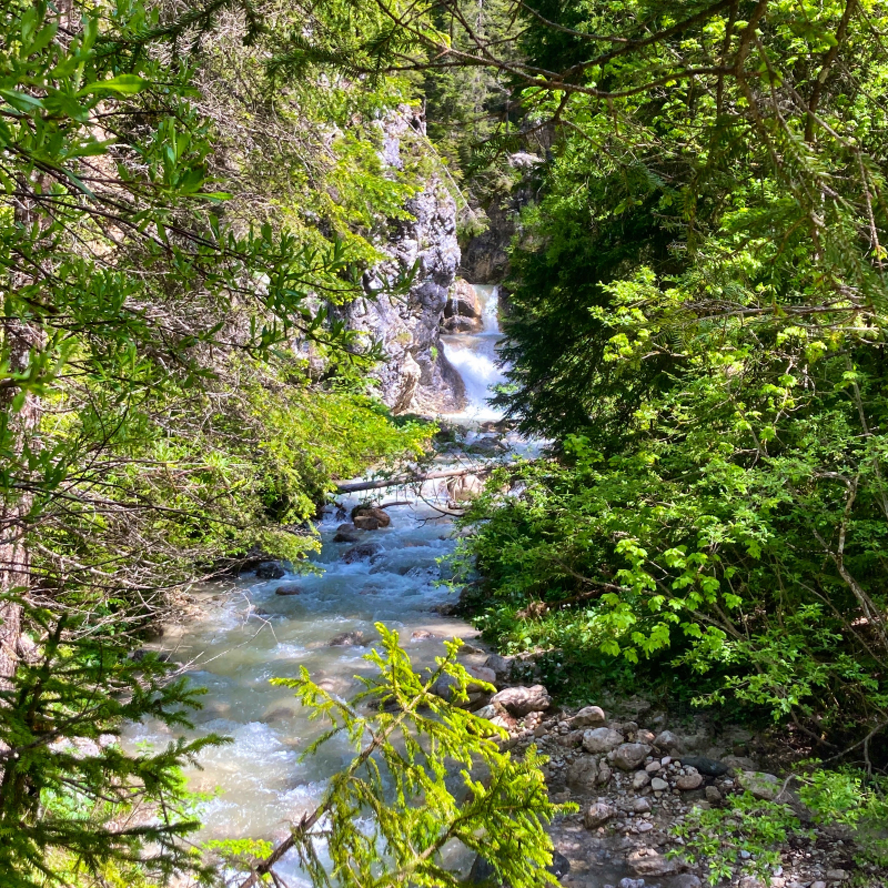
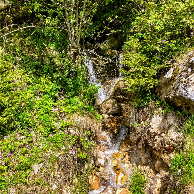
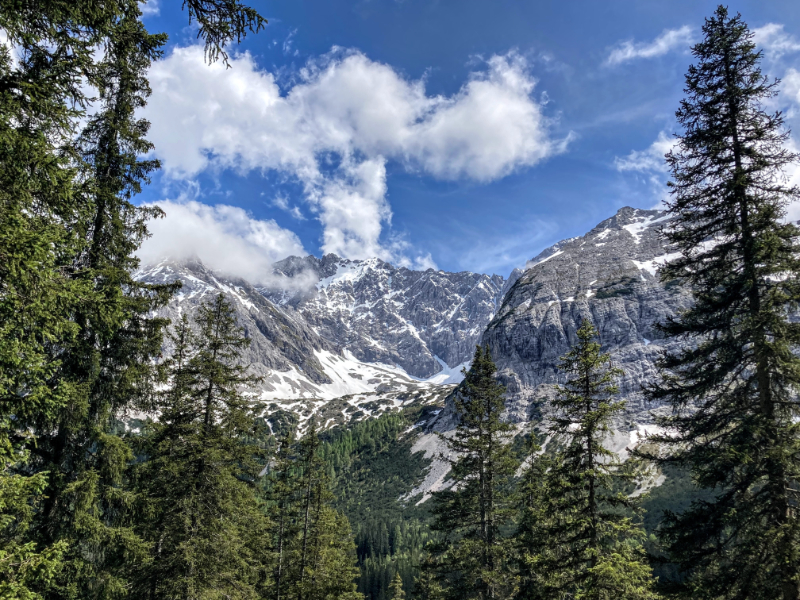
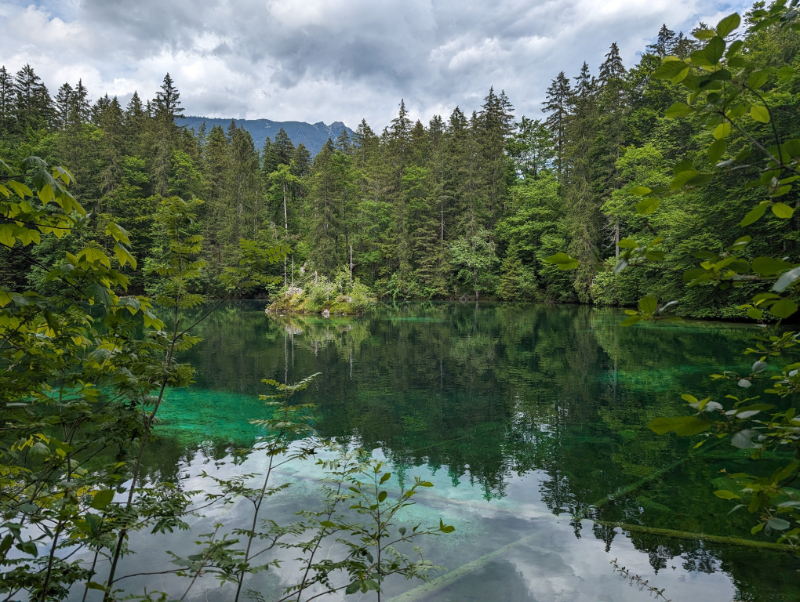
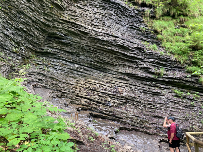
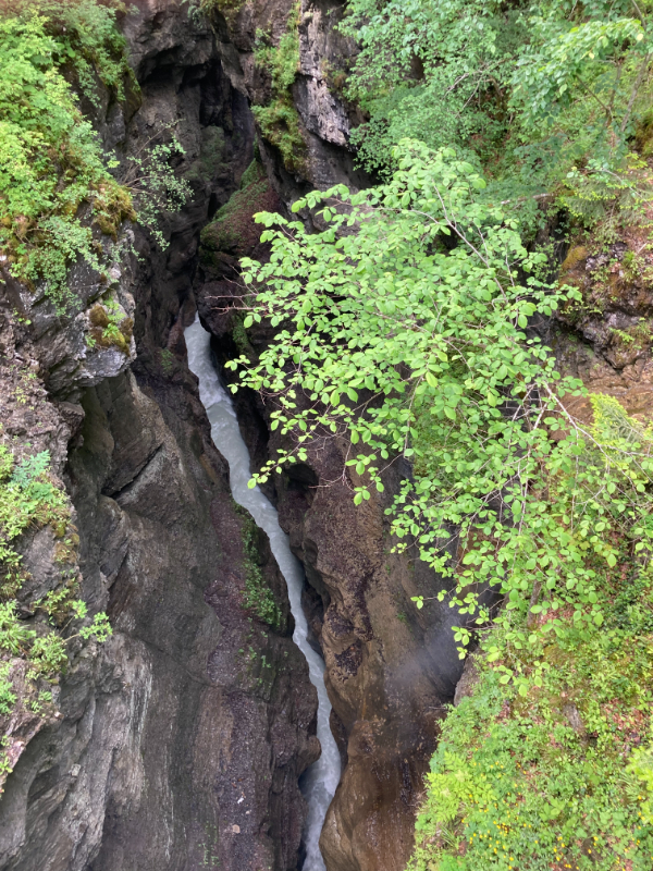
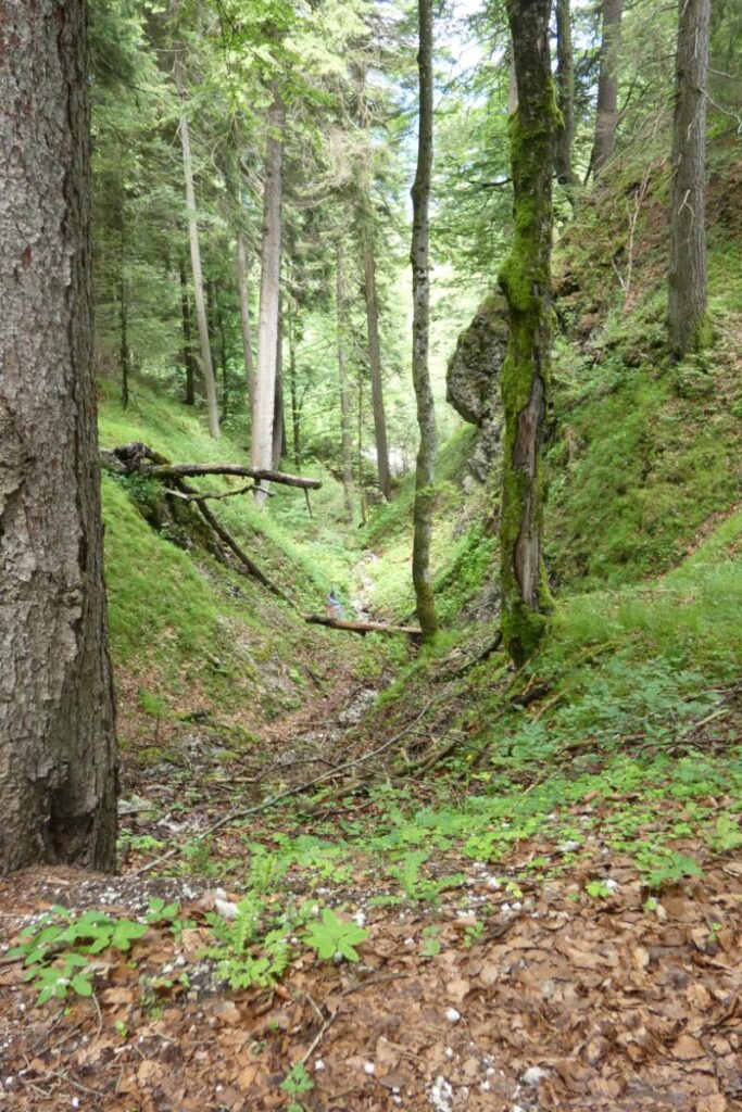
The track follows the Leutascher Ache into an impressive gorge called the Leutascher Geisterklamm (Leutasch Spirit Gorge), which gets deeper and deeper as you make your way through it for nearly two miles. A steep path leads up to the beginning of a series of catwalks suspended through the Gorge, providing a safe hiking route.
Geisterklamm


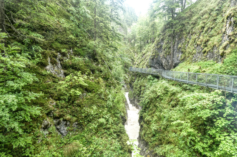
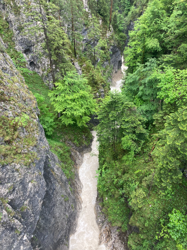
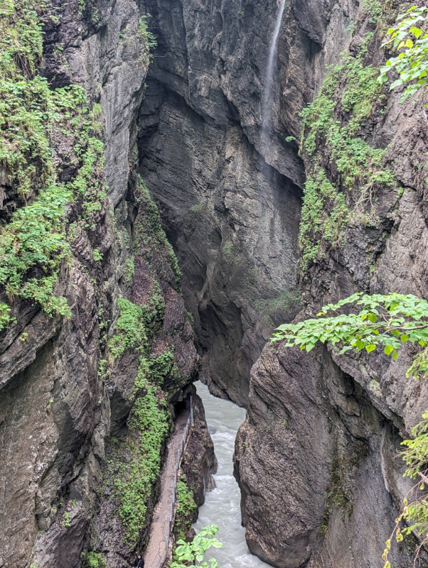
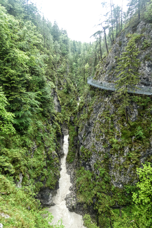
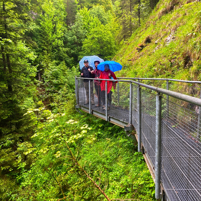
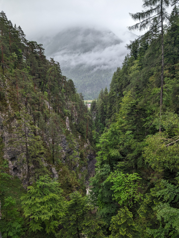
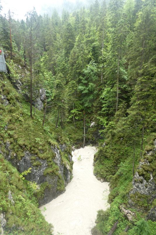
The Geisterklamm is steeped in local folklore. According to legend, the Gorge Spirit (Klammgeist) is a benevolent entity that has lived within the depths of the gorge since time immemorial and is the guardian of the gorge domain, encompassing every stone, bird, tree, fern, and moss. Beyond the Gorge Spirit, legends also speak of goblins, water dwarfs, and even a demon that inhabits the eerie, mystical world of water and stone within the gorge.
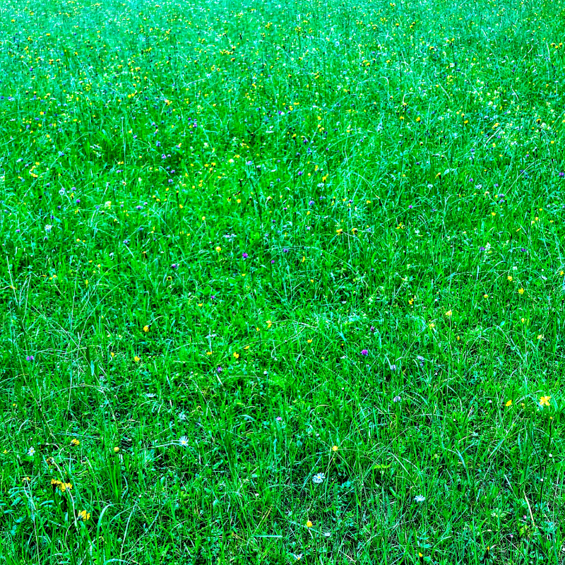
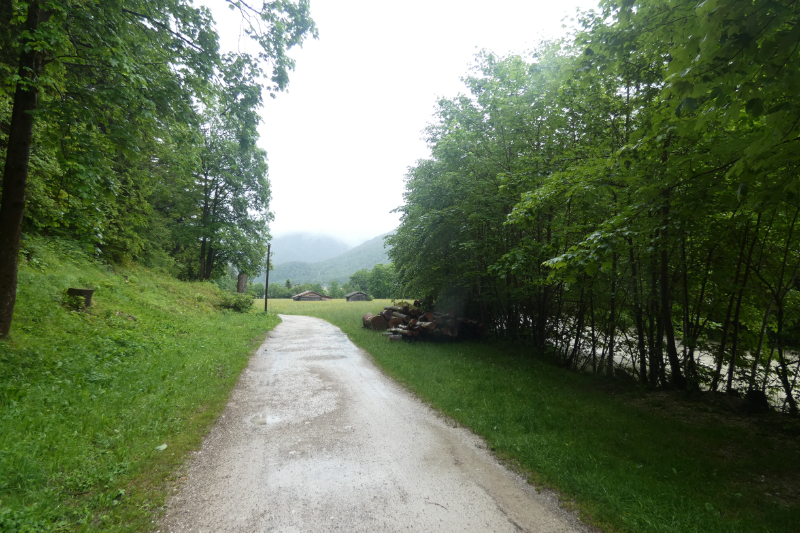
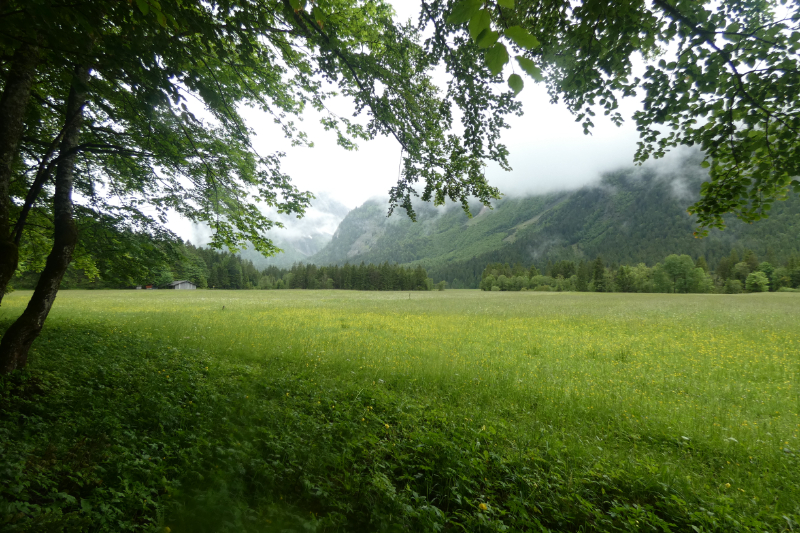
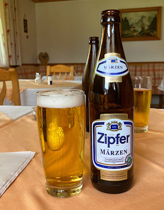
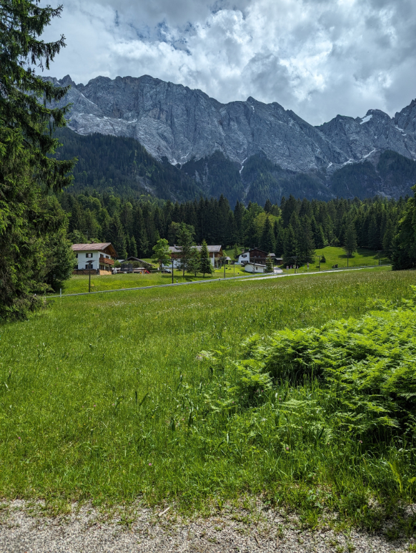
Emerging from the gorge, we passed through small hamlets and flower-filled meadows with the Wetterstein massif as a backdrop. About 14 km (8 miles) and five hours later, we arrived at our accommodation, a traditional inn called Fuirerhof in Leutasch, an area of small settlements sprinkled along the valley floor. The proprietor was generous, offering a cold beer, an Austrian Zipfer, on our arrival. Our luggage had arrived from Mittenwald via the service I found, and a cozy night’s sleep was followed by a traditional Frühstück (breakfast) before starting the next leg.
Leutasch Valley
Leutasch to Ehrwald
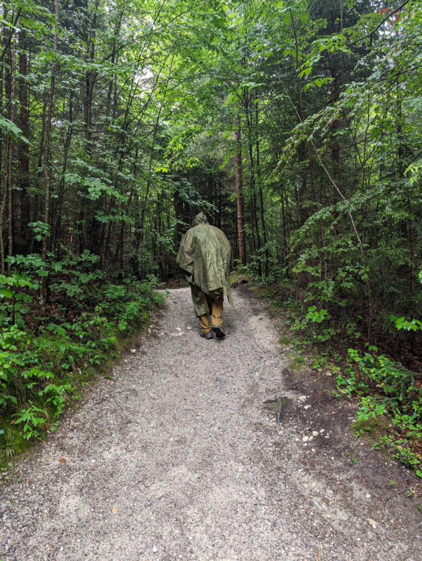
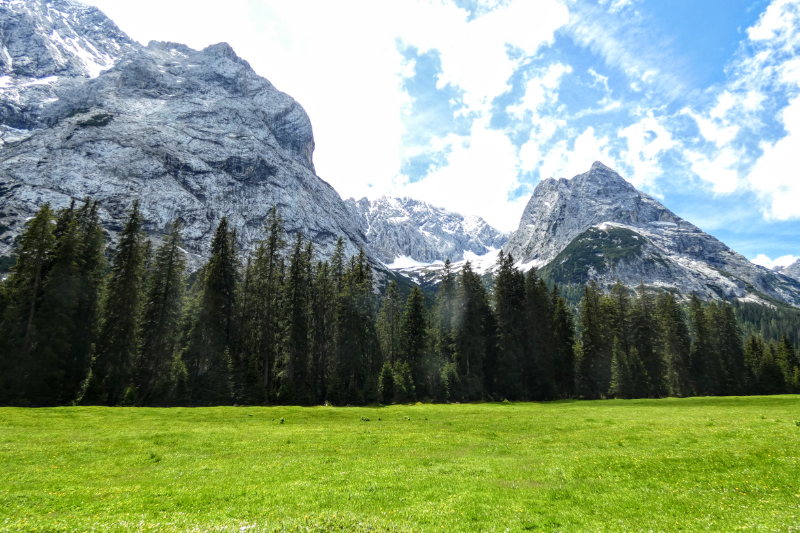
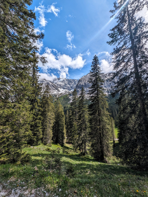
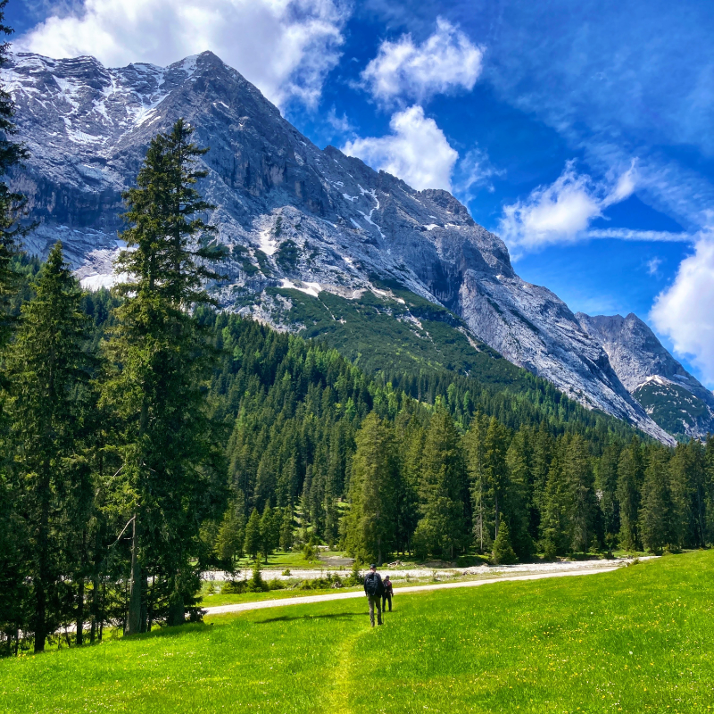
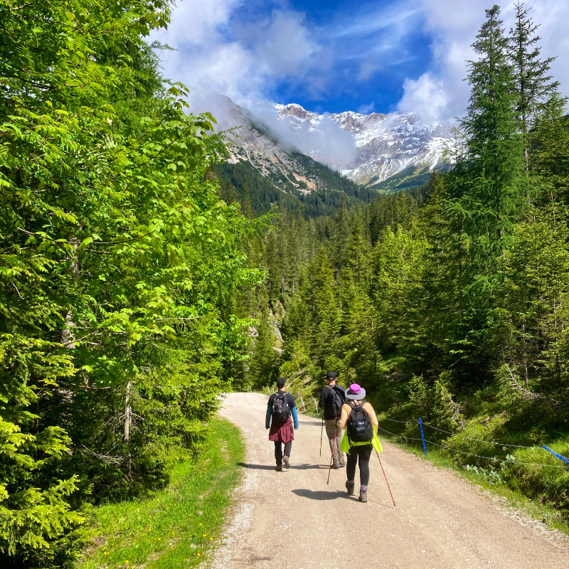
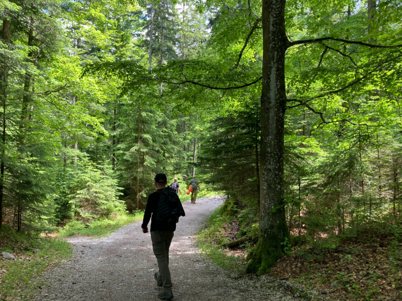
We were glad for a sunny morning and we arranged a short cab ride from the lodgings up to Salzbach im Gaistal, a place in the hanging Gaistal valley above Leutasch where the Leutascher Ache begins a steep tumble into the valley below. The cab shaved some miles off and avoided a section of the route that climbs from the lower valley. From the drop-off, we ascended gently on a forest road until the valley opened up before us. The sun was warm on our backs. Our chatter faded as the effort intensified, replaced by the rhythmic crunch of boots on gravel.
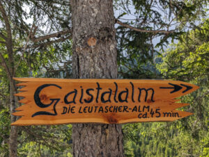
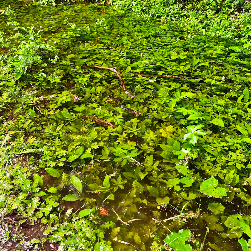
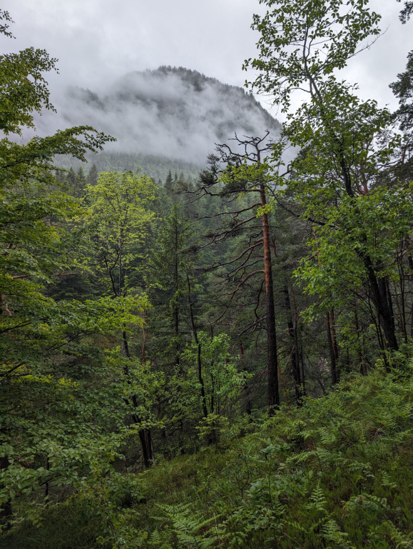
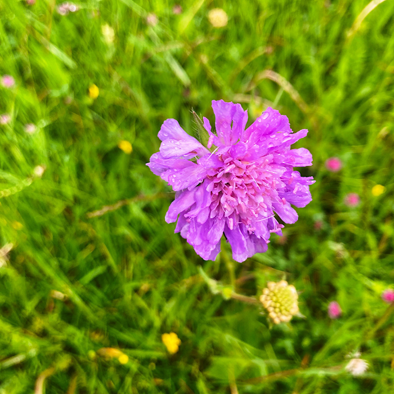
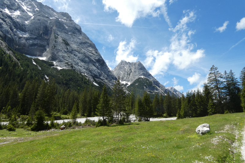
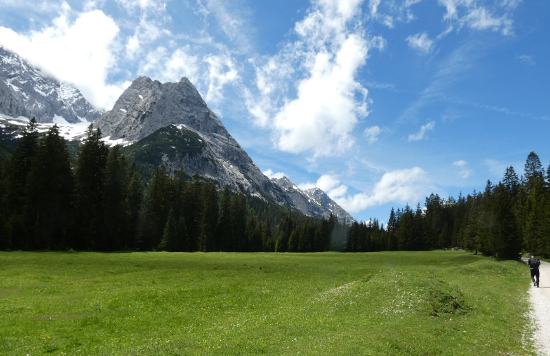
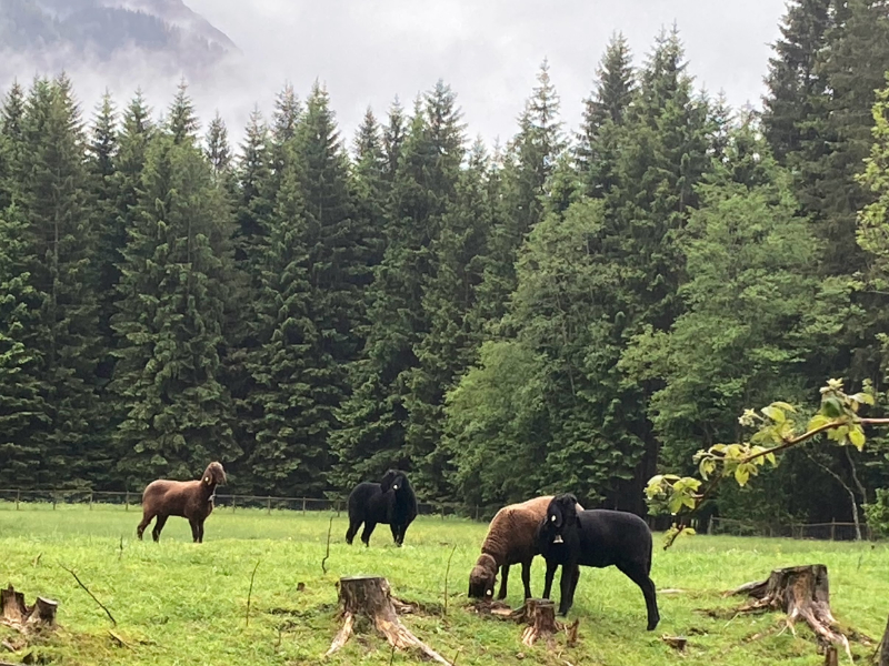
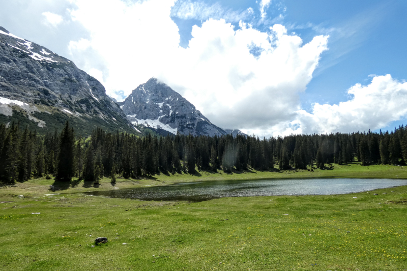
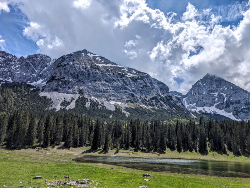
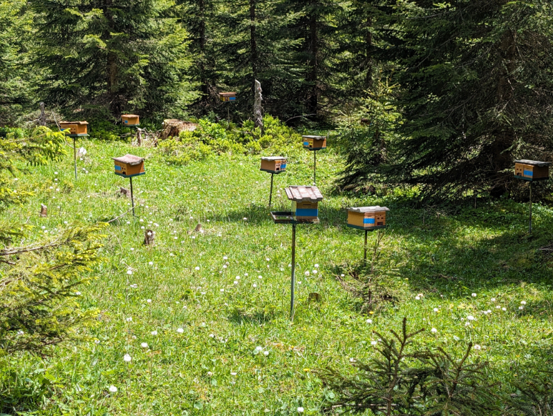
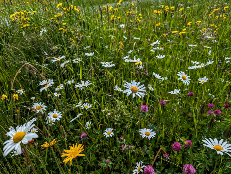
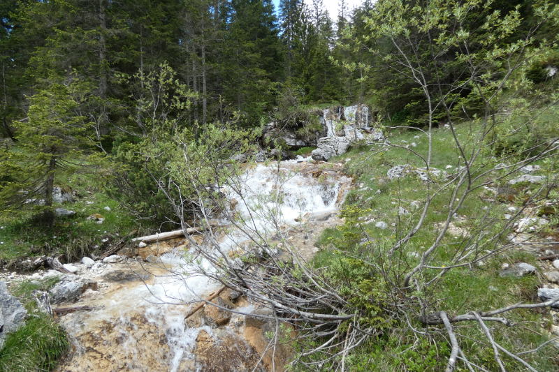
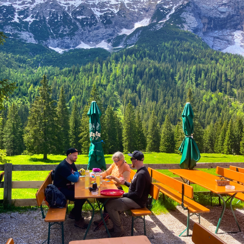
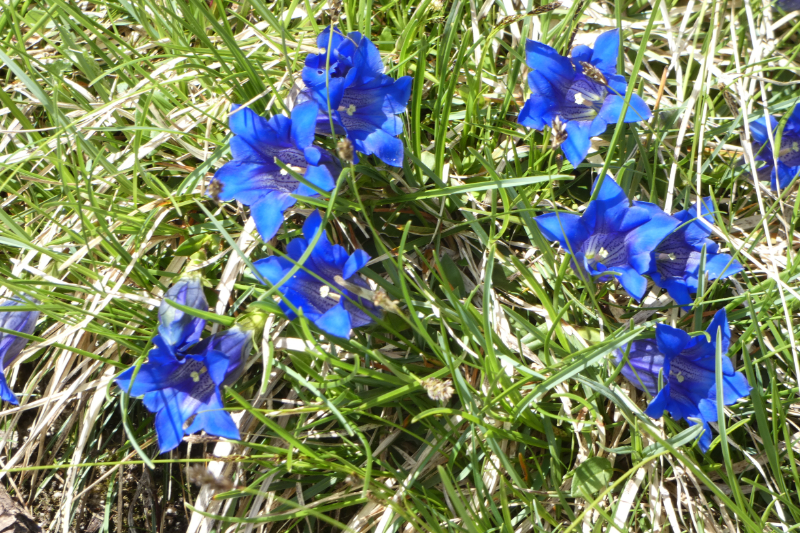
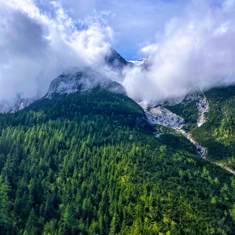
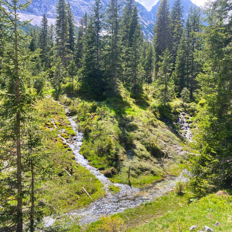
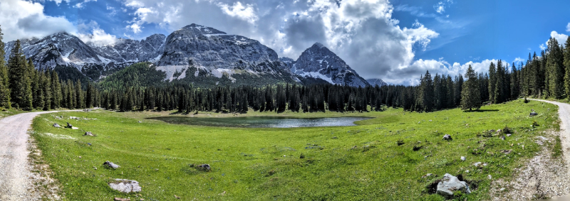
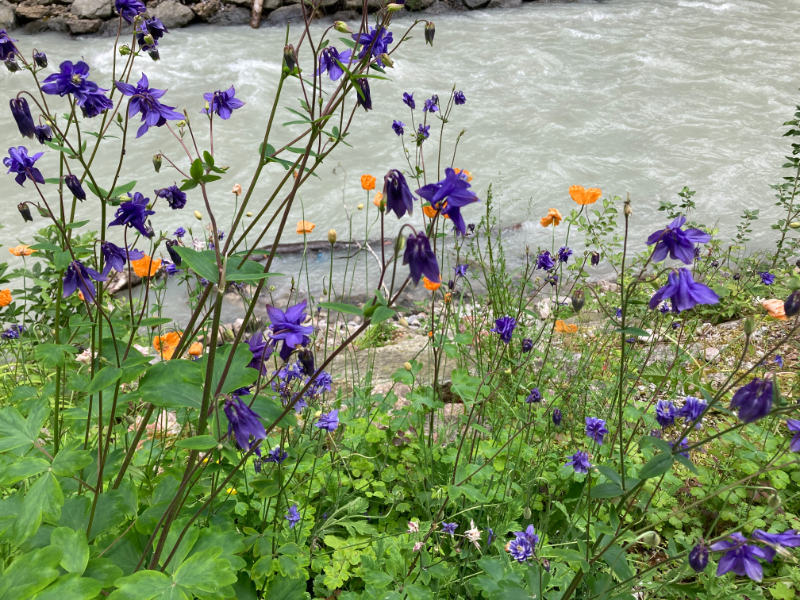
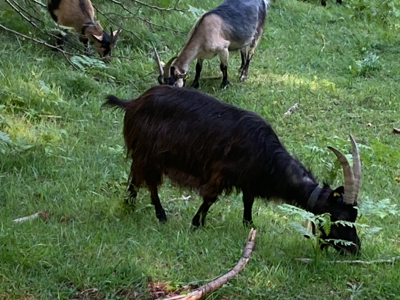
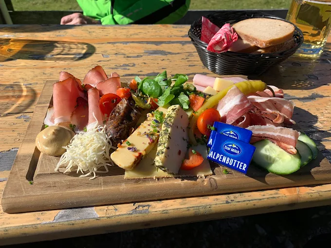
The Gaistal is a vast canvas painted with the vibrant greens of valley meadows, the stark grey of the rock faces, blue mountain lakes, and snow-capped peaks glistening in the sun. It’s a picture of nature’s grandeur that left us awestruck. Some call it a “pasture paradise” for the chain of deep green pastures that line the route through the valley. The imposing Wetterstein Mountains flank the route to the north and the gigantic Mieminger Chain to the south. The route follows the winding Leutascher Ache river. It is an idyllic landscape with many alms along the way to provide opportunities for homemade food and well-deserved beers. It’s a place that oozes tranquility and Tyrolean charm.
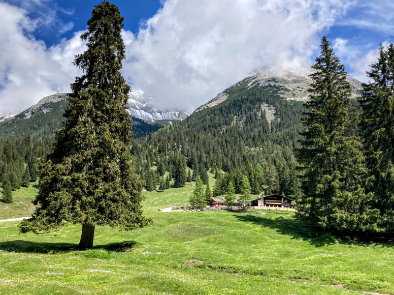
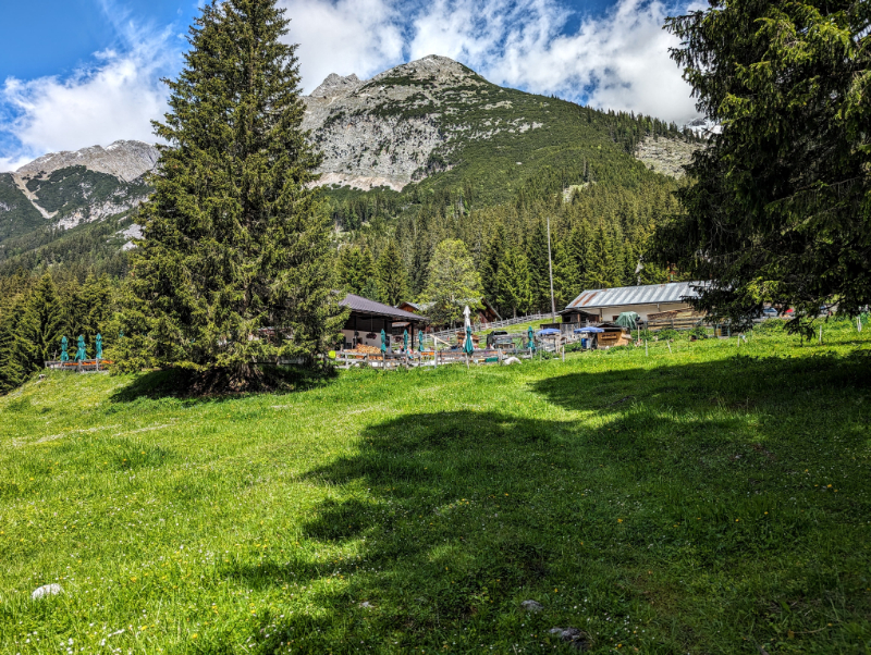
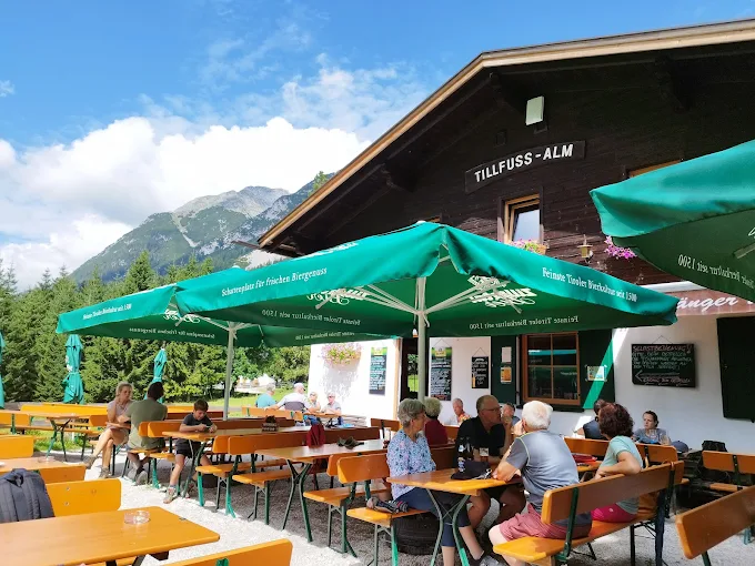
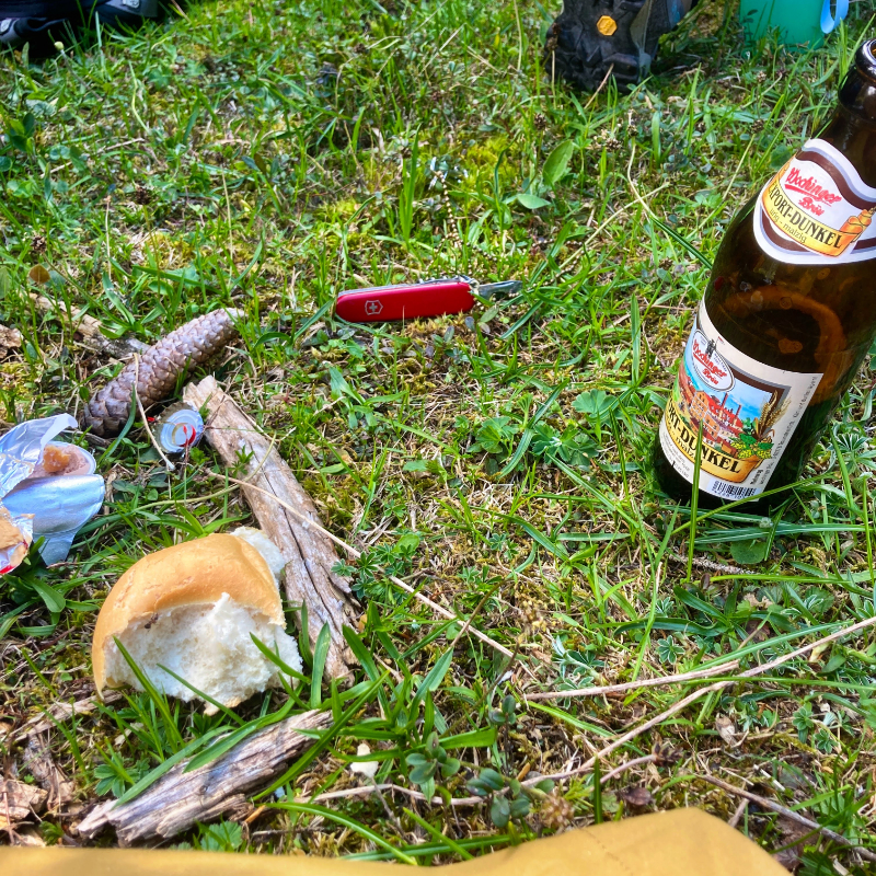
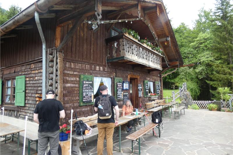
By the time we reached the cut-off to Tillfussalm, I was ready for a beer and a snack. Tillfussalm, a working farm and cafe (I think you can overnight there as well) sits nestled at the edge of a forest with expansive, views of the Mieminger peaks across the way. This was a cheery stop offering homemade meals and Munich beer. It is a collecting place for hikers wanting a civilized break with a brew and a view.
In the Gaistal

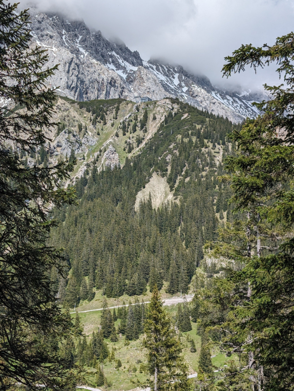
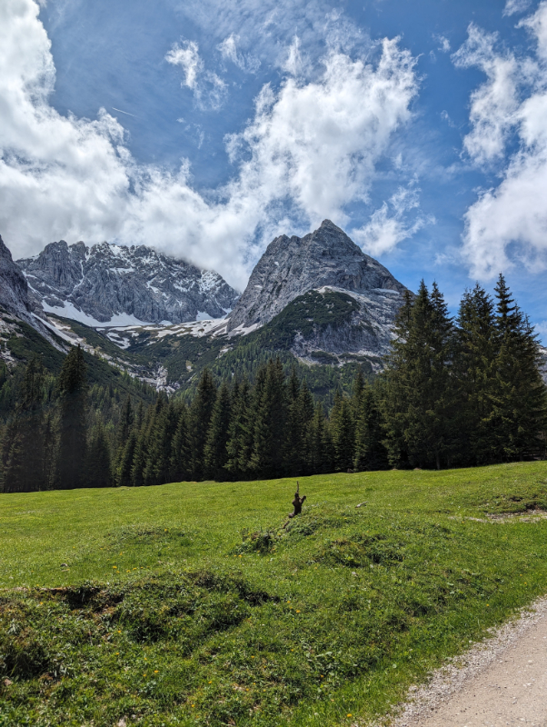
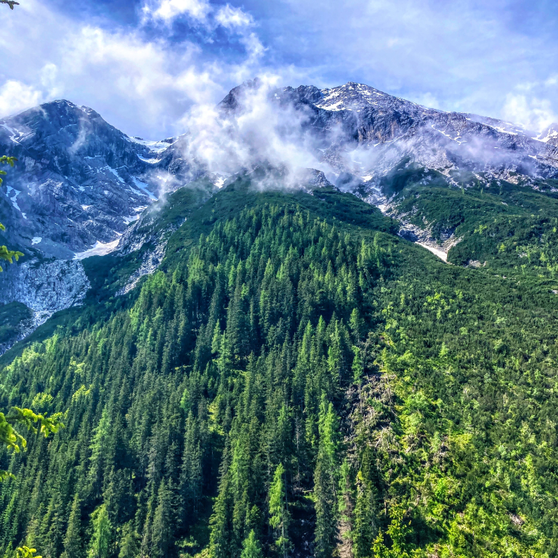
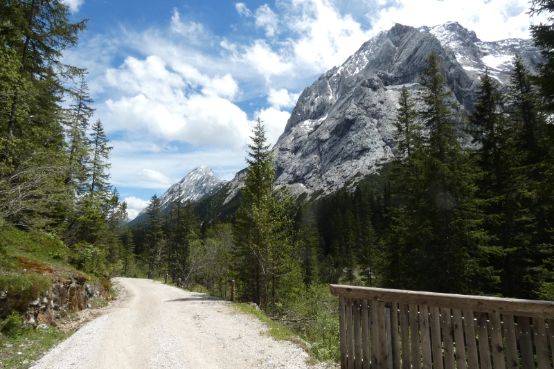
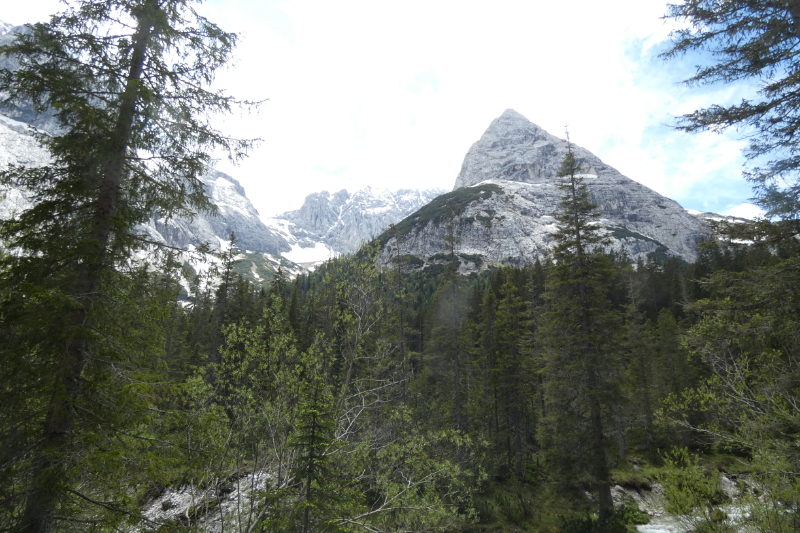
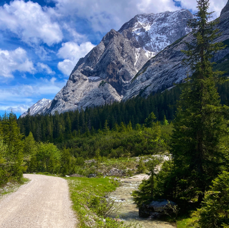
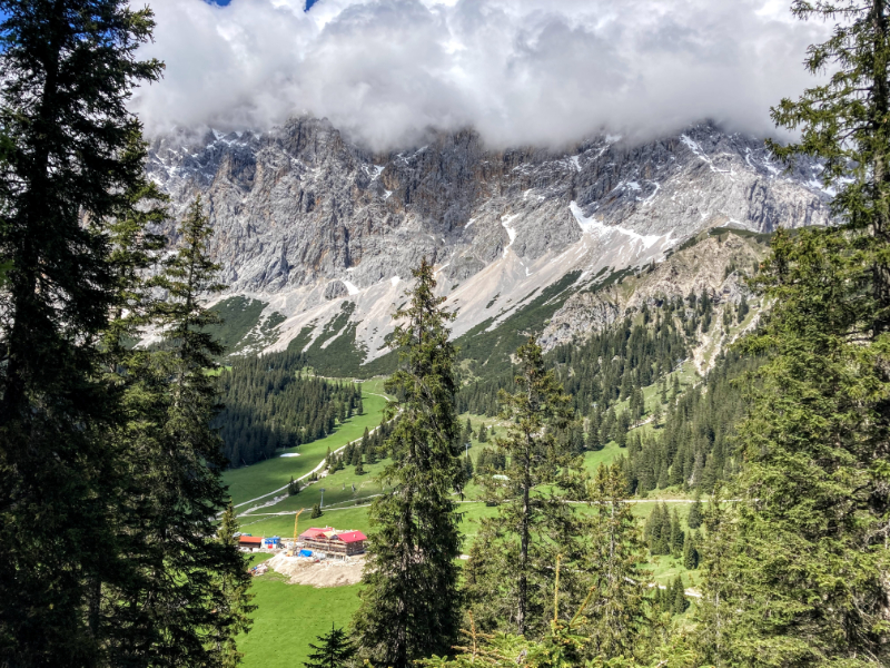
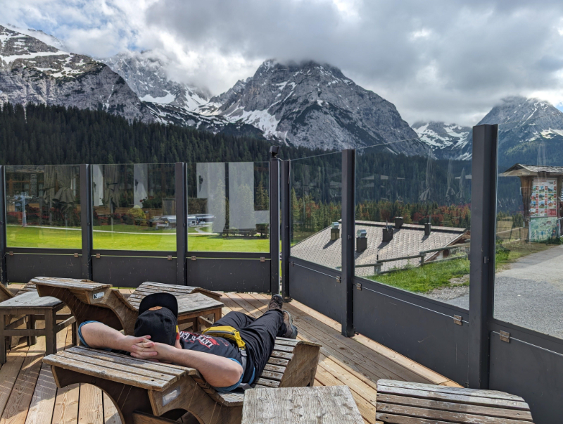
Continuing through the day, we reached a high lookout point above the Ehrwald Alm, a sweeping plateau with yet another breathtaking panorama. The Zugspitze stood before us in all its glory, a stark contrast to the emerald valley below. After a steep descent to the alm, we chose to take the cable car from there down to Ehrwald where we would spend the night. Unassisted by taxis or cable cars, this day would have been about 17 km (about 10 miles). Including stops, we took about 6 hours.
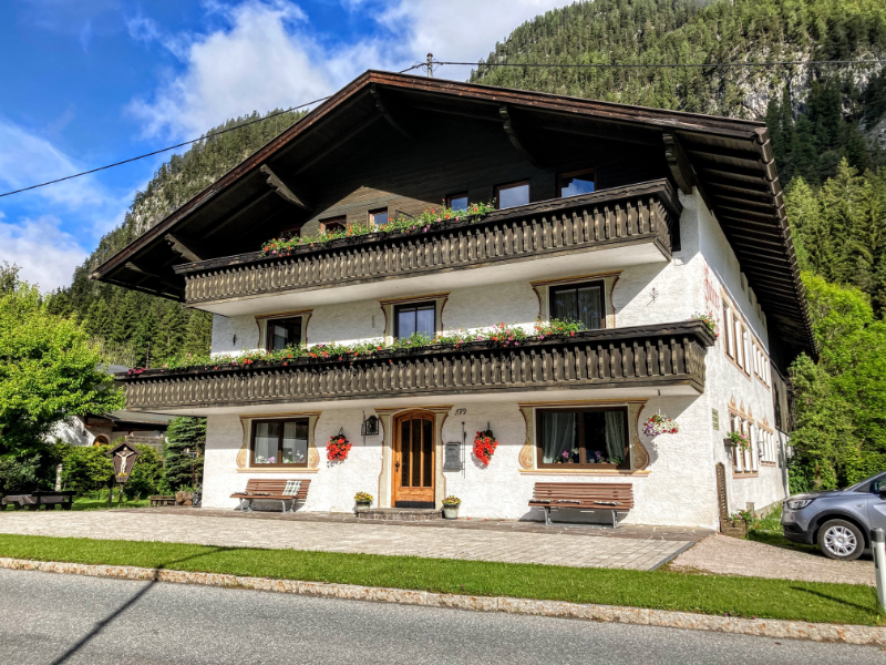
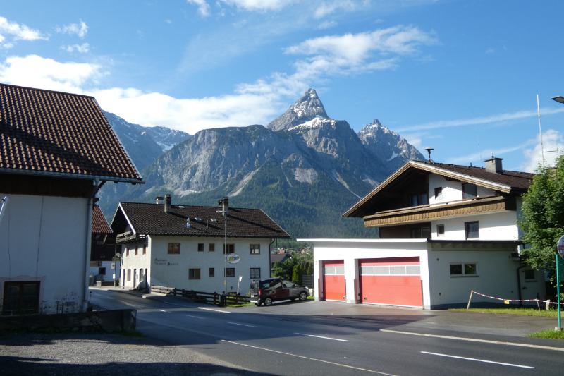
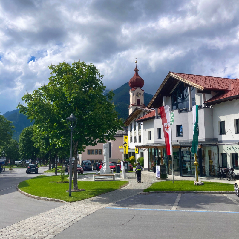
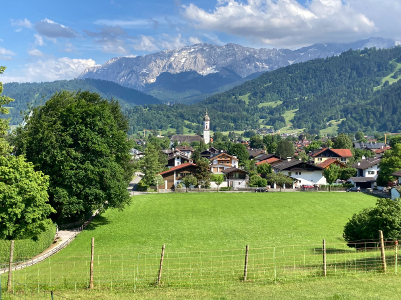
The descent to Ehrwald flew by, fueled by the anticipation of a hearty meal and a cold beer. Ehrwald is a small resort town with traditional Tyrolean houses and a photogenic center. There were plenty of food options, although it took quite a bit of searching to find a place (Haus Alpenglühen) that would accept our single overnight stay. The proprietor, Jaap, generously offered cold beers at his small bar for guests.
Ehrwald to Garmisch-Partenkirchen
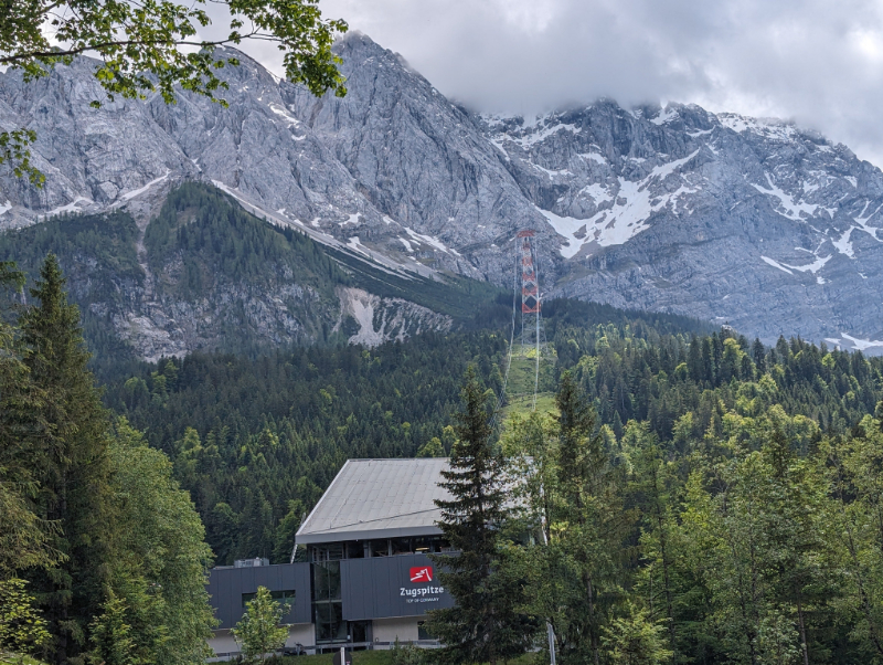
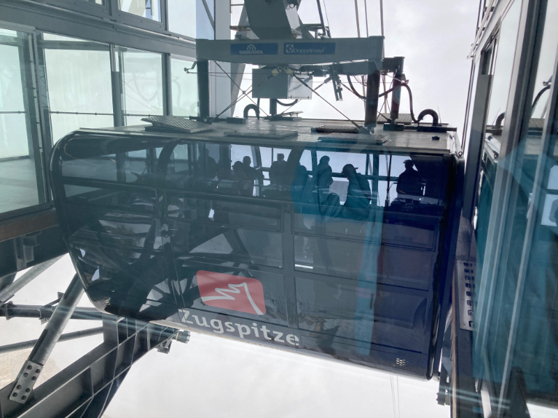
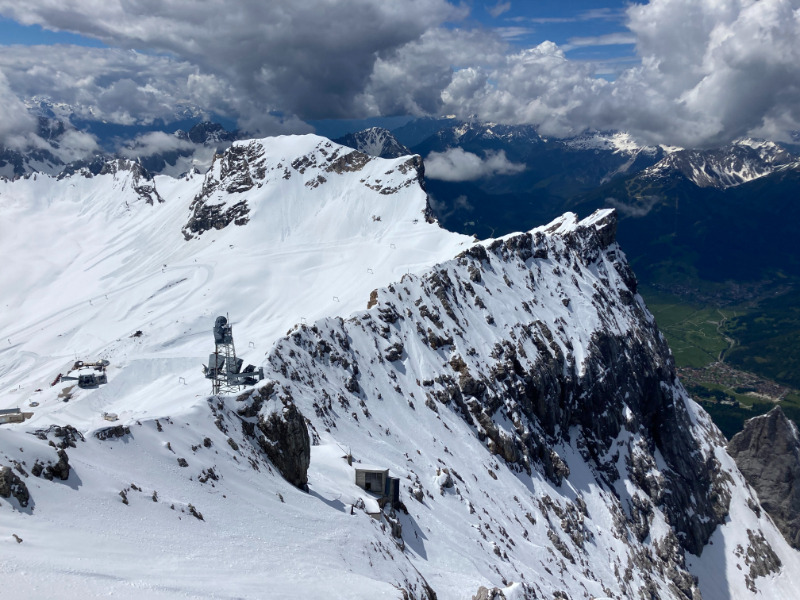
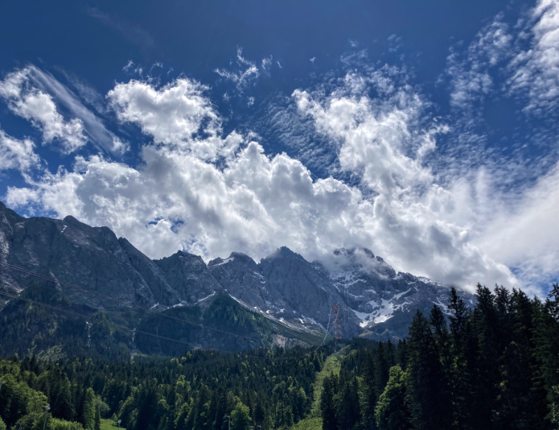
This day involved hiking towards the foothills of the Zugspitze, Lake Eibsee, and Obermoos. From Obermoos, we took the Tiroler Zugspitzbahn up to the top of the Austrian Zugspitze. The Tiroler Zugspitzbahn is more than just a means of transportation; it’s an experience in itself, offering a thrilling ten minutes ascent through the clouds and unparalleled views of the surrounding alpine landscape in a spacious, 100-passenger panorama cabin. The Tiroler Zugspitzbahn boasts steep sections reaching an incline of up to 46 degrees.
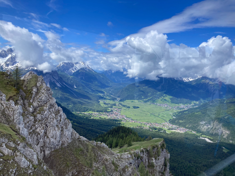
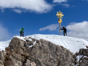
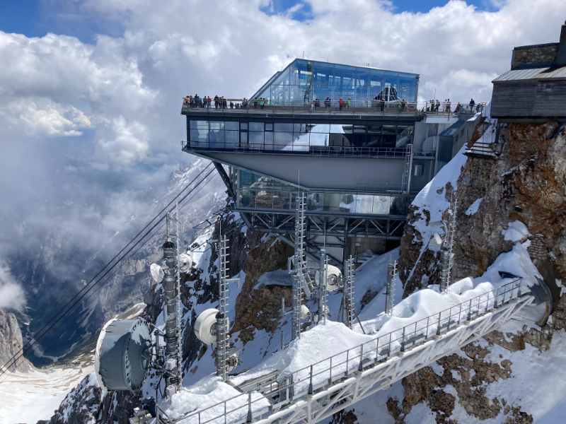
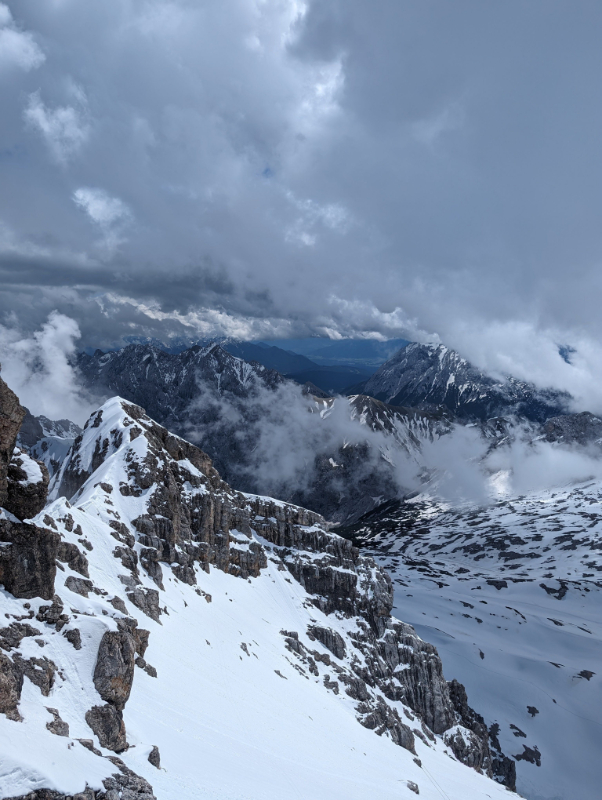
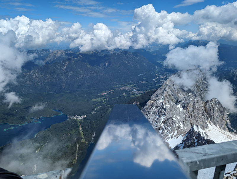
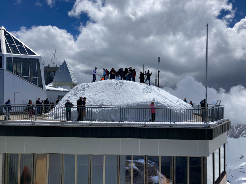
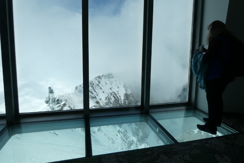
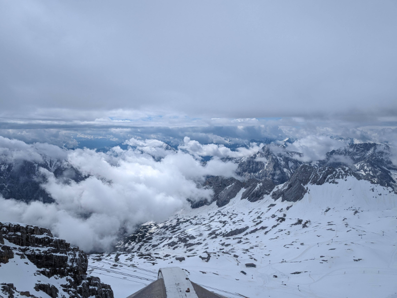
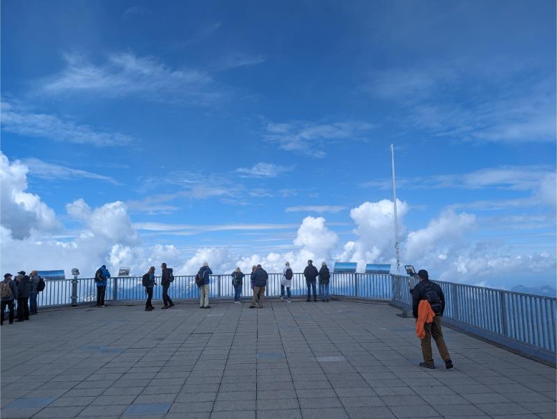
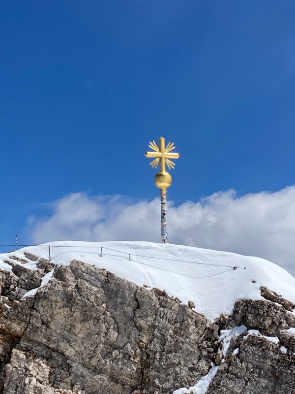
Atop the Zugspitze, visitors pass throughan open border crossing between Germany and Austria. The Zugspitze summit station offers diverse activities, including panoramic 360-degree views of approximately 400 peaks across four countries when the weather is fair, dining at Germany’s highest beer garden, exploring the year-round snow-covered Zugspitzplatt glacier with its adventure trails, and for the adventurous, ascending to the iconic golden summit cross. Don’t be surprised by unpredictable and cold weather.
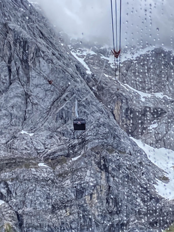
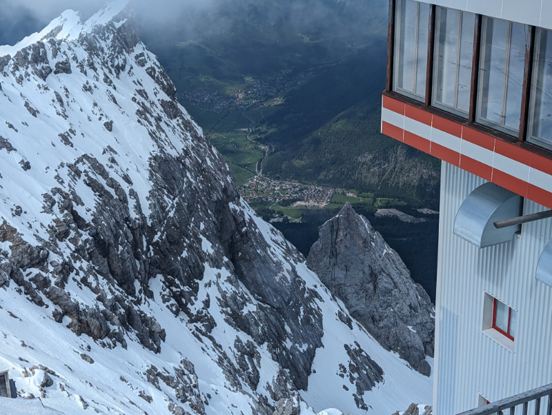
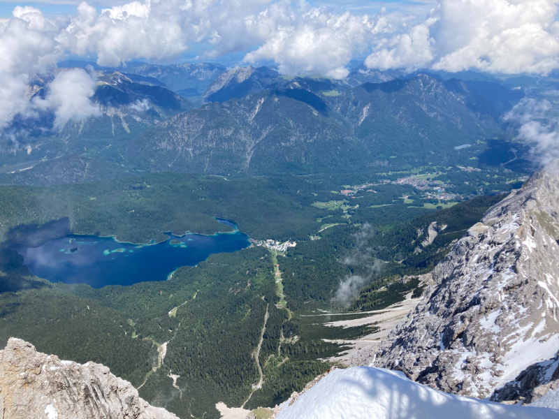
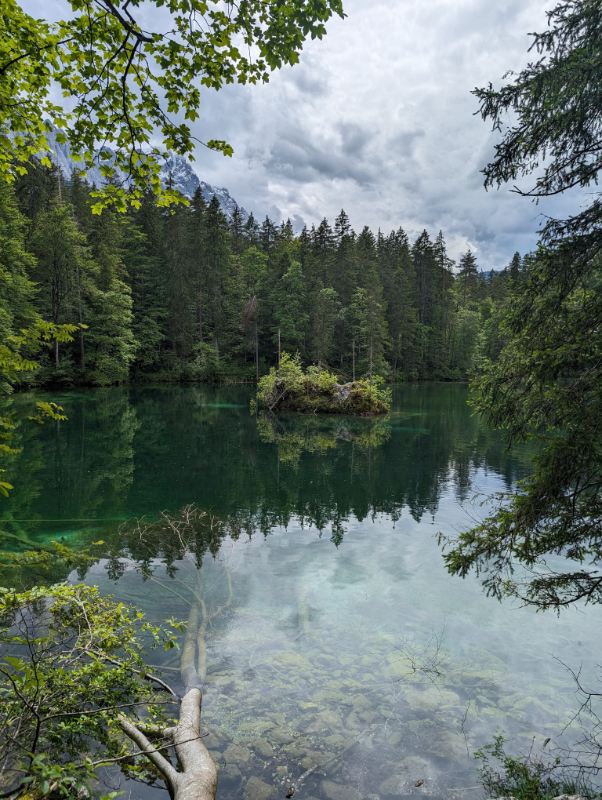
After checking out the summit, we took the Seilbahn Zugspitze, a smaller, but equally impressive cable car descent into Bavaria to Lake Eibsee. From the Eibsee you can hike to Garmisch or take a cogwheel train. The descent is a scenic journey that offers contrasting perspectives compared to the Tiroler Zugspitzbahn. As you descend the Eibsee, a shimmering emerald jewel of a lake nestled in the forest gets larger by the minute. Nearing the bottom station, you’ll get a closer look at the lush forests that line the valley floor and the network of hiking and biking trails that crisscross the area.
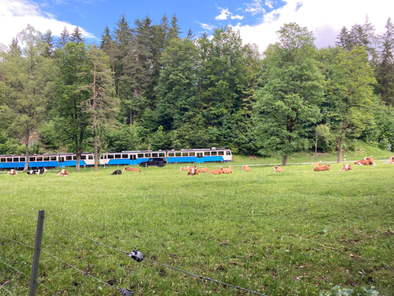
The descent ends at the Eibsee valley station, located right next to the pristine waters of the lake. Several resorts and restaurants are clustered there, providing an opportunity for a cold beer and a snack at the lake’s edge. Although we chose to hike from there, it is possible to ride the Bayerische Zugspitzbahn, a cogwheel train between Eibsee and Grainau, and continue on regular friction tracks from there to the Garmisch-Partenkirchen train station.
Last Leg to Garmisch
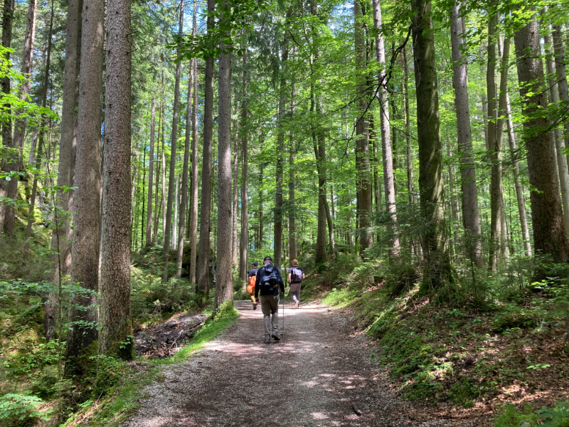
The hike from Eibsee to Garmisch a beautiful and relatively easy route tested our resilience following several days on the trails. Most memorable were dense forested areas and occasional glimpses of the cog train. Excluding use of the cable cars and train, this stage is about 12 km (7.4 miles) and ascends 540 m (1770 feet) before descending into Garmisch.
The Zugspitze Circuit isn’t just a hike; it’s a journey of self-discovery, etched in the heart of the Bavarian Alps
Click here for more stories about hikes and other activities in Bavaria
Leave a Reply