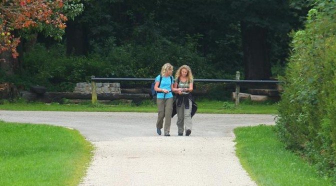
 The town of Bad Urach is in the Central Swabian Alps in Southern Germany. I’m here to learn about the area and hike on a segment of the Albsteig, another of Germany’s many long distance hiking routes. The Albsteig runs for nearly 200 miles (350 kilometers) between Donauworth and Tuttlingen along a steep escarpment that affords huge panoramic views. The route follows the rim at various times and at others passes through high

meadows, farms, and forests on the mountain tops. Castles, caves, ruins, interesting towns, and villages are encountered all along the route.

Bad Urach, a town of about 11,000 inhabitants, is just about in the middle of the Albsteig route. It is a beautiful town in the Erms River valley surrounded by the mountains with a huge number of half-timbered structures in its center. The ruins of Hohenurach castle are perched on a hilltop high above the town. Bad Urach is a famous spa town with developed mineral hot springs. The Alb Thermen is a modern spa facility with multiple pools of varying temperatures, seven different saunas and steam baths, and a full complement of massage and wellness services. Pretty enticing … but I was here to hike. Following is the story of the hike in pictures … captions, when provided, appear above the images.
The Wasserfallsteig is a loop route that starts in the base of the valley on the edge of the town and climbs up to a beautiful water fall that drops more than 100 feet off of one of the shear escarpments that line the upper reaches of the mountain. Once you reach the top, you follow the route of the Albsteig along the shear drop-offs for a way before meeting a trail that drops down to another waterfall, and eventually back to the starting point.
View from the bottom:
The route is well marked — GrafenSteige is a local branding for the several excellent routes originating from Bad Urach.
The route follows a bubbling stream up to the waterfall:
The route begins gently through a picturesque meadow before beginning the ascent:
The Urach waterfall plunges 37 meters down by stages into the Kalktuffstein valley
At the steepest section of the falls, steps replace the trail for a stretch as you ascend literally within reach of the water
View from the top of the falls:
An ancient foot bridge above the falls:
Hey — it’s lunchtime and a kiosk appears in the forest right on queue — hiking is the only way to reach this spot:

 Food from the kiosk together with a fine beer provided by the Beer Fairies of Hof (read about the Beer Fairies here):
Heading up from the falls:
Reaching the top, you are rewarded with panoramic views of the valley below – the ruin of the Celtic era fortress of Hohenurach are visible to the right:


 On top of the mountain ridge, the landscape opens up to large meadows:
An interesting variety of benches along the way make it easy to get the rocks out of my boots:
You eventually pass through the Gestütshof St. Johann, one of the facilities of the Marbach horse farm. The Gestütshof St. Johann served in the past as a monastery and a forestry and hunting lodge. It is now the largest of the three Baden-Württemberg State stud farms of Marbach. The horses graze peacefully in the meadows, far from the relative hustle and bustle of Bad Urach. The stud farms are a centuries-old Württemberg tradition. Horse breeding in Marbach was first mentioned in 1554.


 The route passes a second beautiful waterfall on the way down the mountain:
The route down affords scenic views of the ruin of Hohenurach:


 Sheep grazing below the Hohenurach … this is sheep country. The most famous local festival, the Uracher Schäferlauf occurs in odd-numbered years and celebrates the shepherding traditions of the area.
Another interesting bench:
The town of Bad Urach features romantic streets filled with half-timbered buildings and dramatic views of the surrounding mountain ridges:
According to local legend, the pretzel was invented in Bad Urach


Leave a Reply