
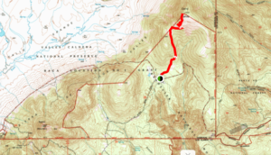
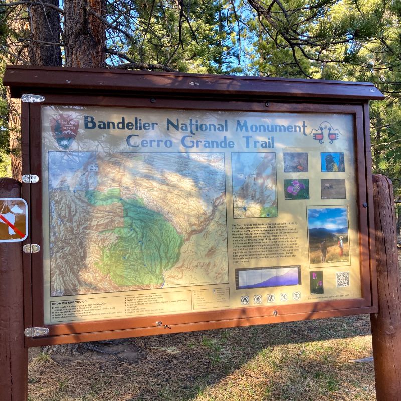
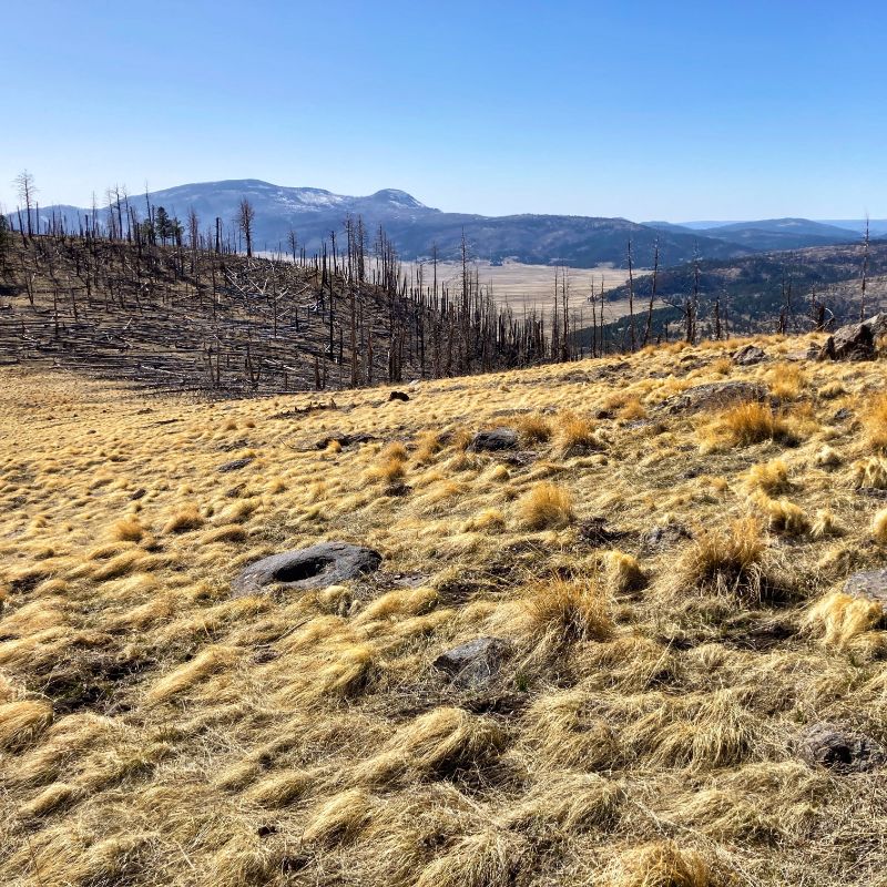
Cerro Grande is a high peak on the eastern flank of the Jemez Mountains in north-central New Mexico. At 10,207 feet (3,110 m.) it is not extreme, but it definitely was a test for my winter atrophied muscles and lungs. Cerro Grande is the highest summit in Bandelier National Monument. The peak is infamous in our area as the location of a controlled burn gone wrong in 2000 that eventually destroyed hundreds of homes and required our entire community of 19,000 to be evacuated for a week or so.
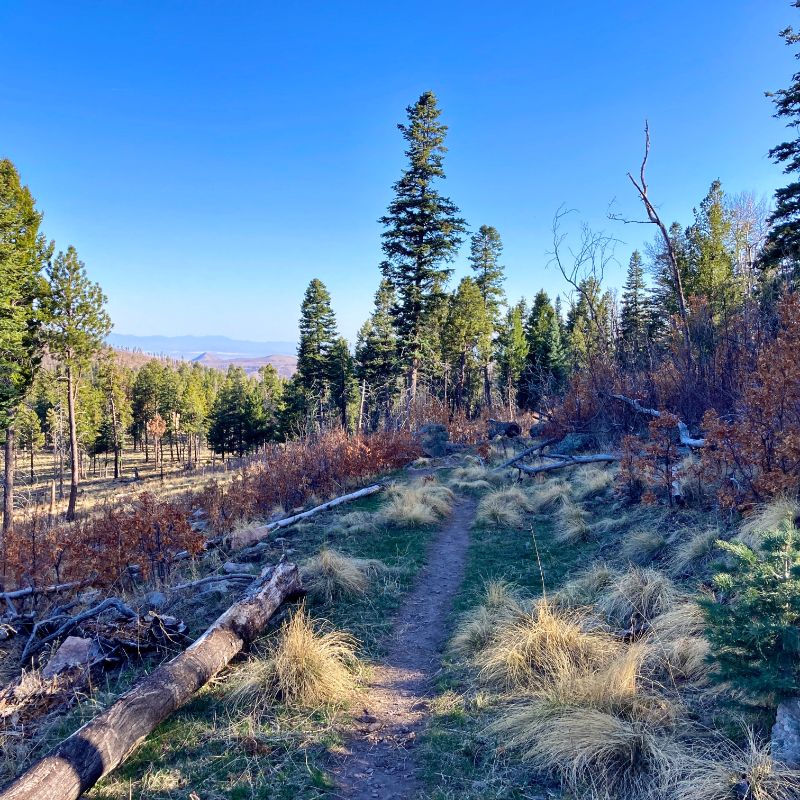
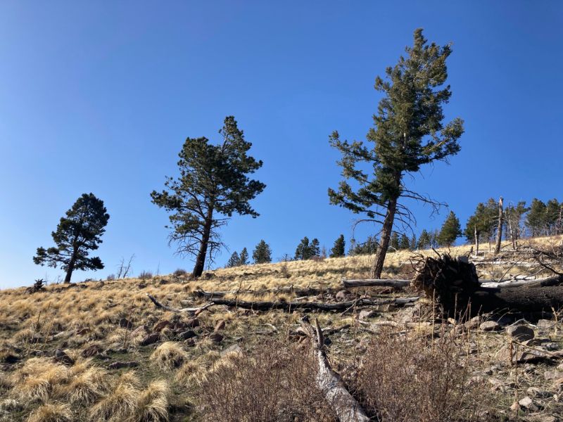
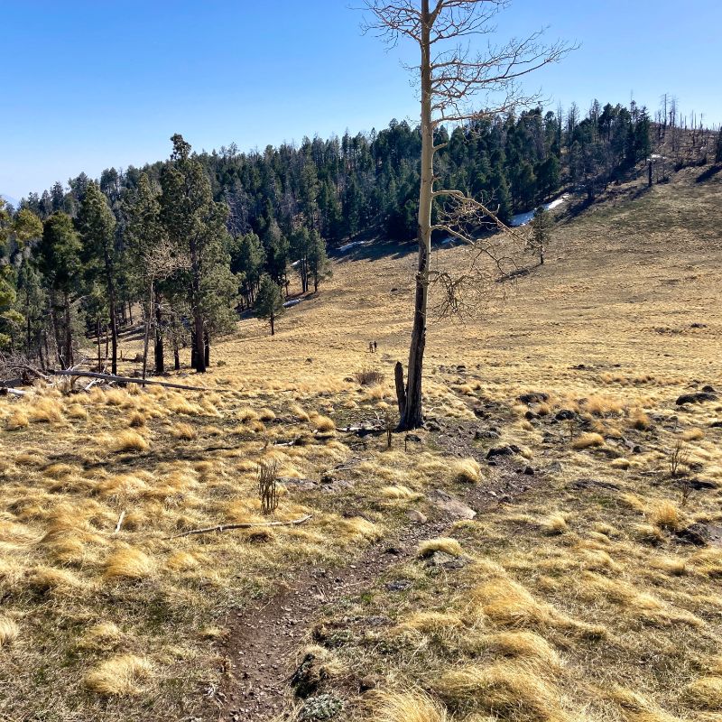
Signs of that fire are certainly still visible, although grassy meadows, dotted with Aspen groves have filled back in pretty nicely. A good deal of the route passes through forest of Ponderosa pine, Douglas fir, white fir, and the aspens. As you get closer to the top, the terrain opens up into grassy meadows with spectacular views in nearly every direction. The spring winds were whipping, but I found a fairly sheltered spot to enjoy lunch and a beer – a wheat ale from Grand Canyon Brewing Company.
As you might expect, the hike to the summit is all up and the hike back to the car is all down. The AllTrails stats say this is a 4.2-mile hike in-and-out and the elevation gain going in is 1200 feet (370 m). It was early enough going in that I saw a single flower the whole way – in the meadow near the top.
trailhead 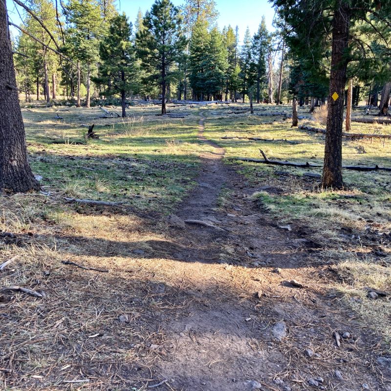
flat start 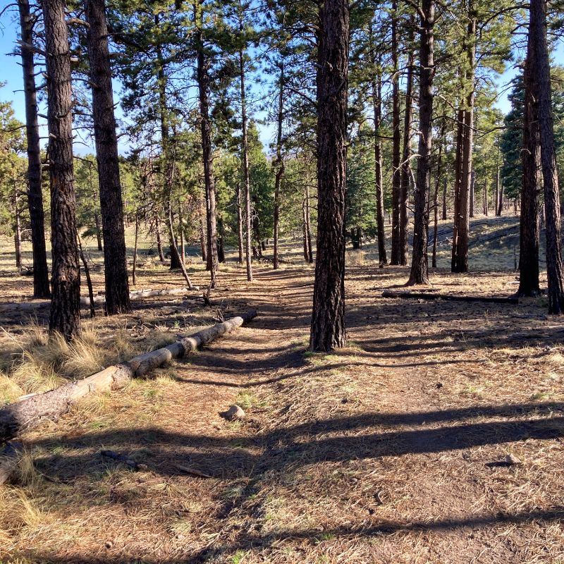
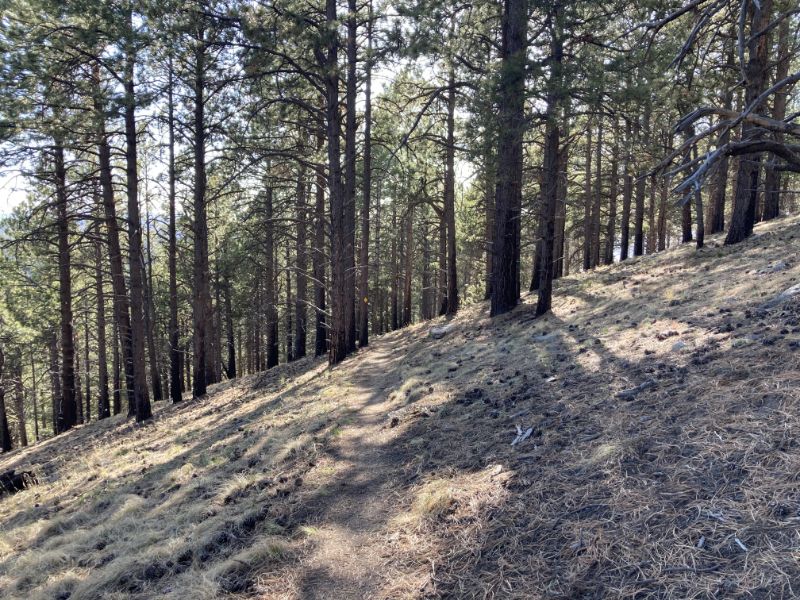
Ponderosa Pine forest 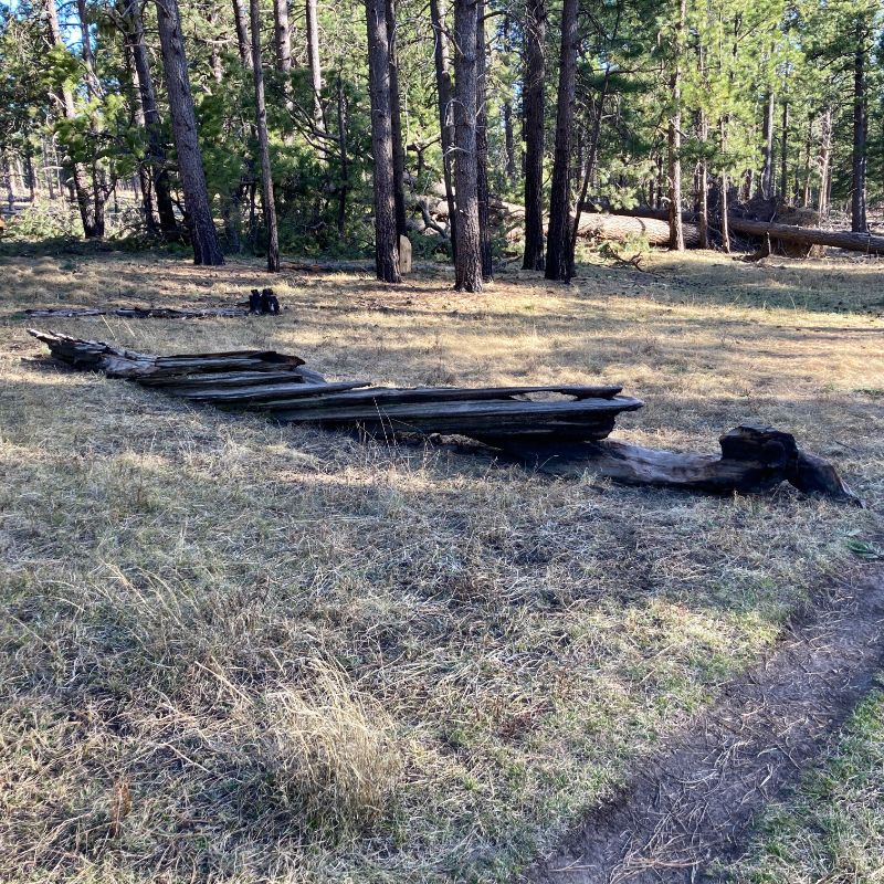
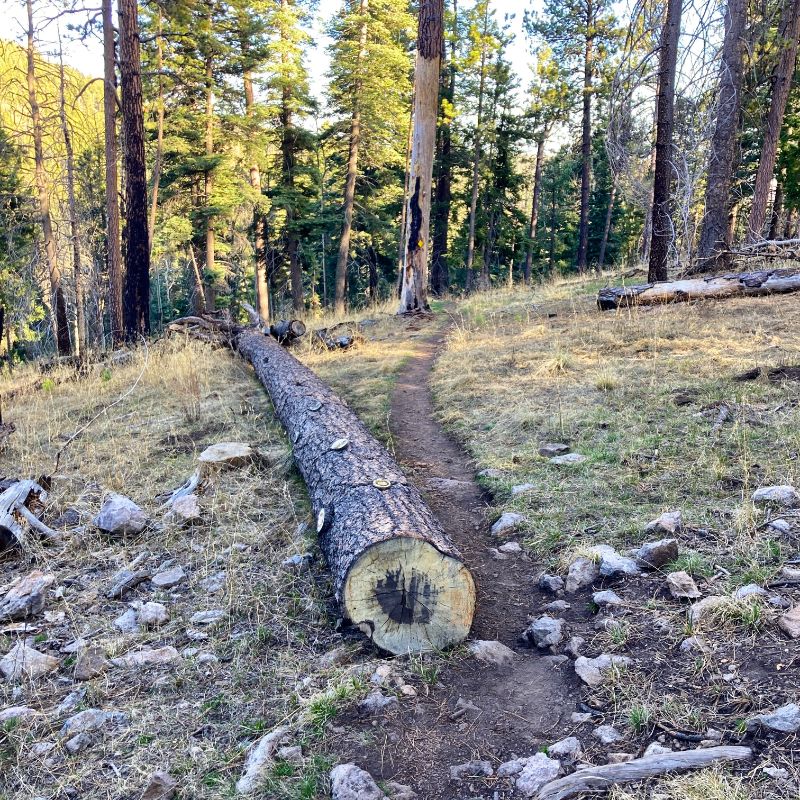
burnt log 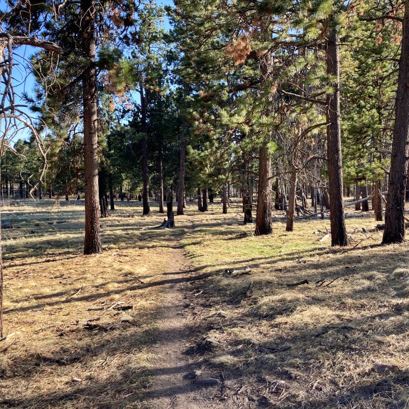
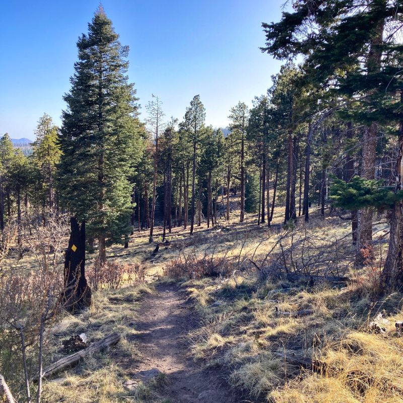
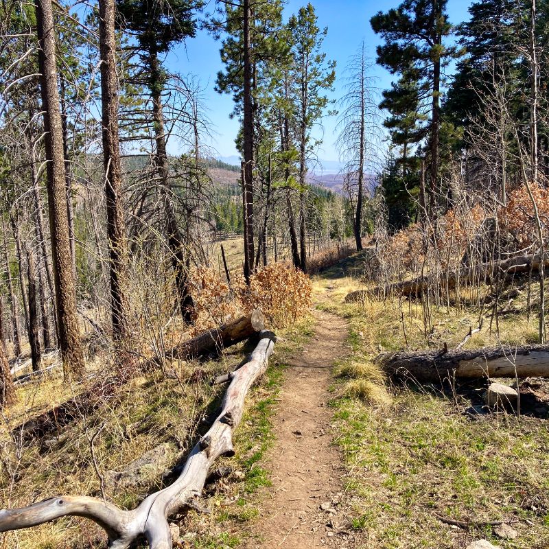
starting to climb 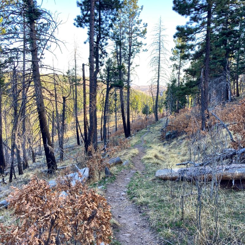
on the trail 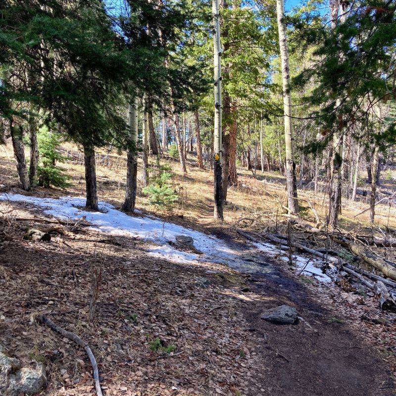
patches of melting snow 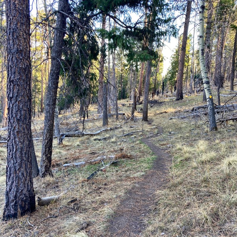
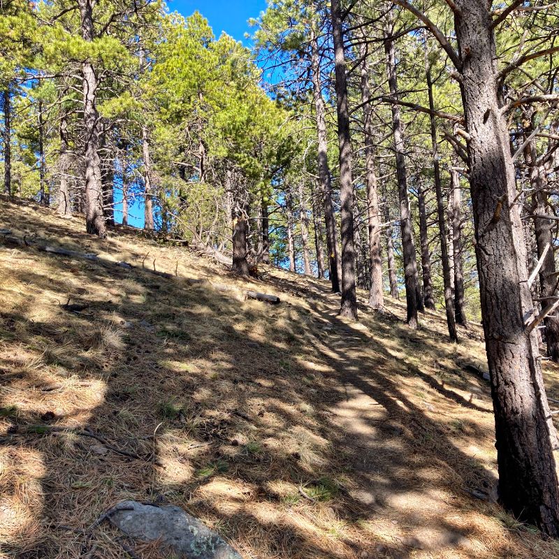
steady ascent 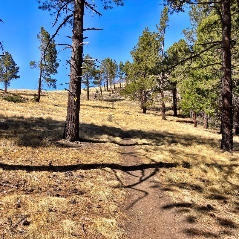
breaking into the meadows 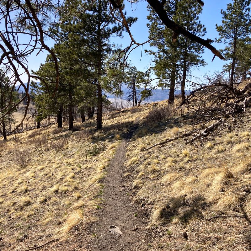
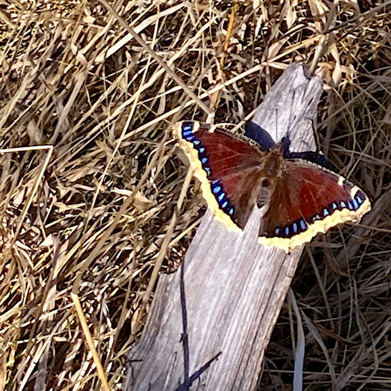
sign of Spring 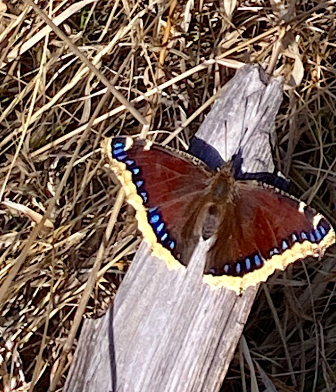
on the trail 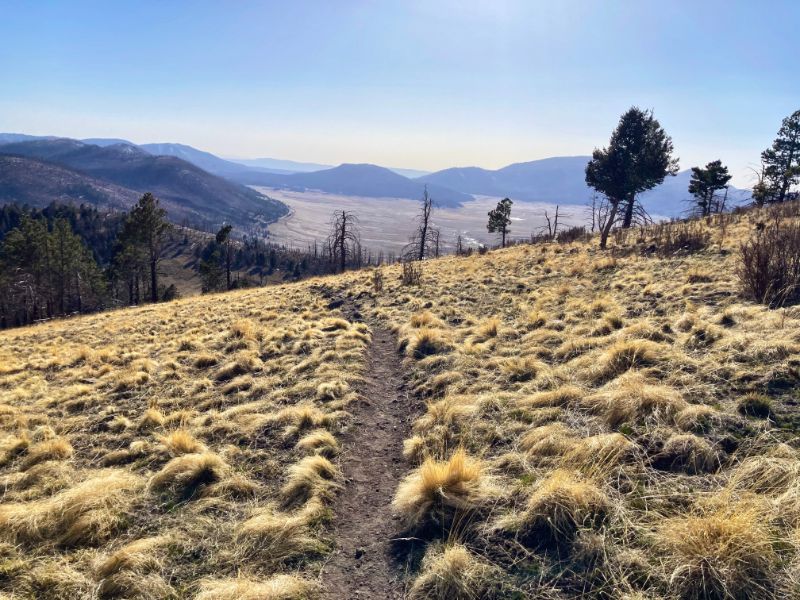
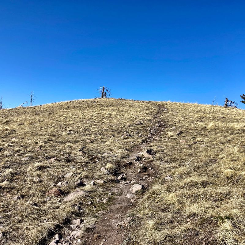
breaking over the ridge 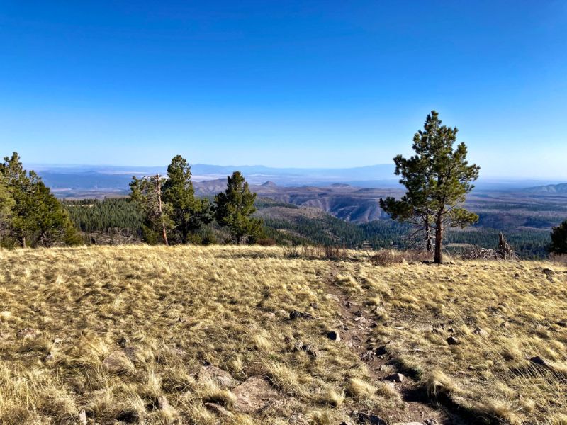
big view east 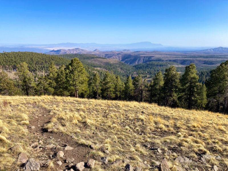
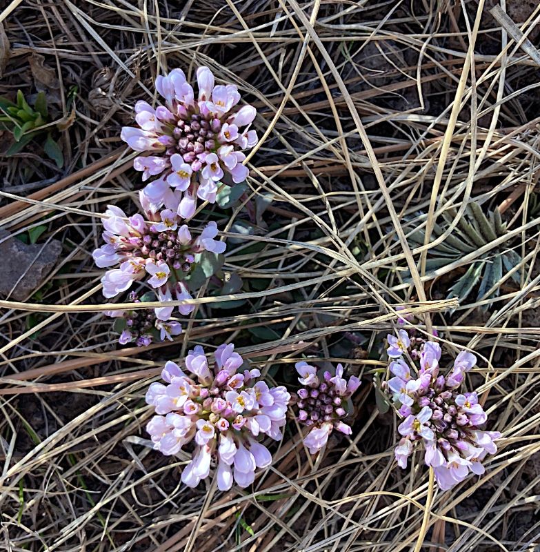
another sign of Spring 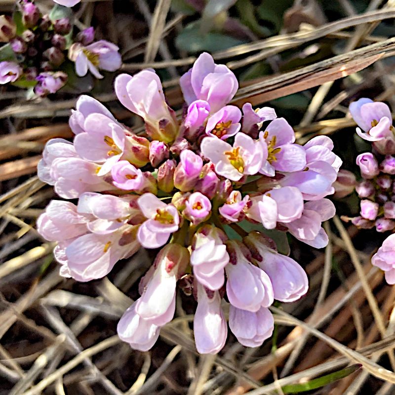
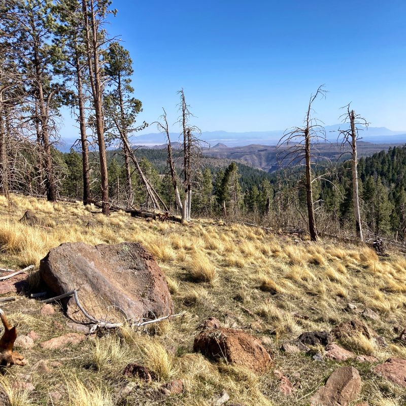

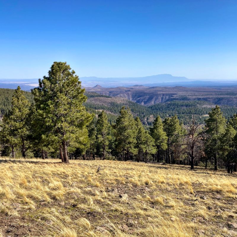
view South to the Sandias 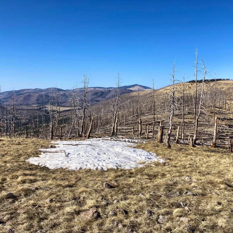
view north to Santa Clara Peak 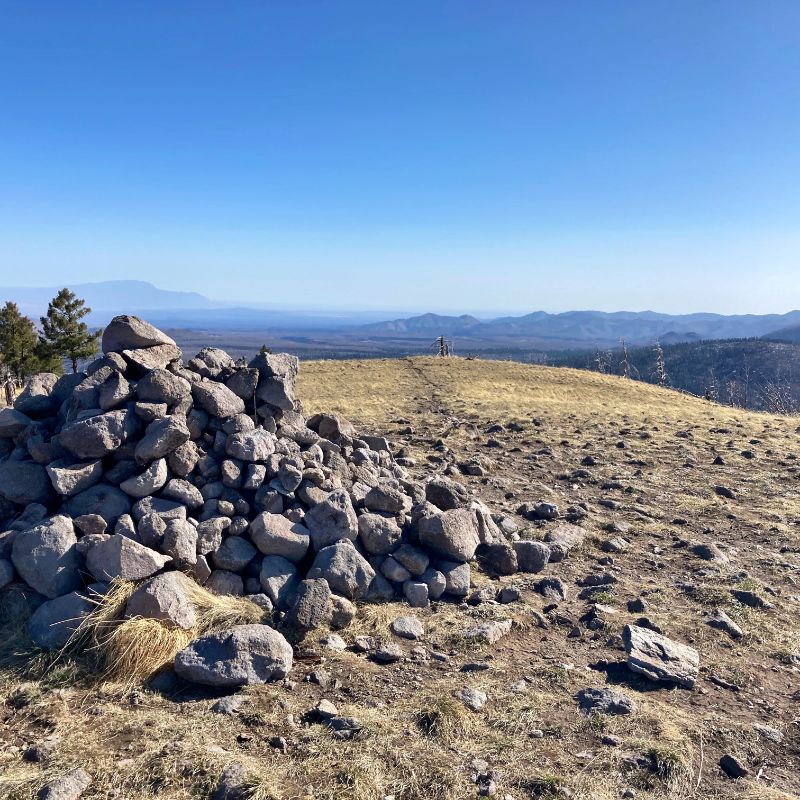
cairn at the summit 
peak time 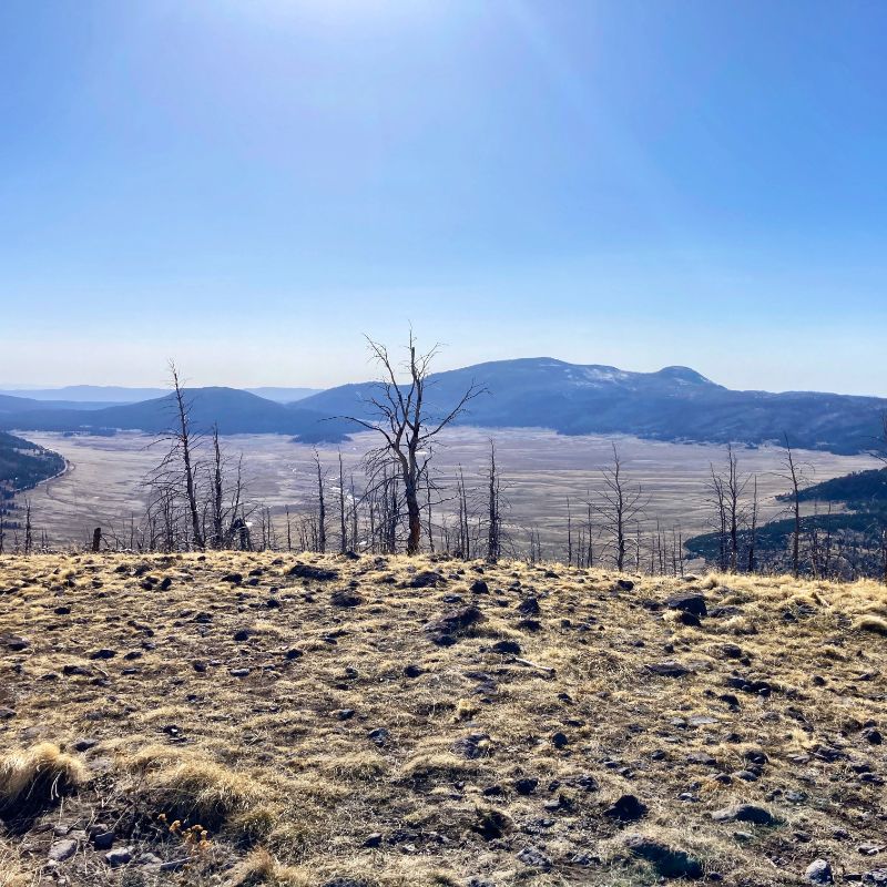
view into the Valle Grande 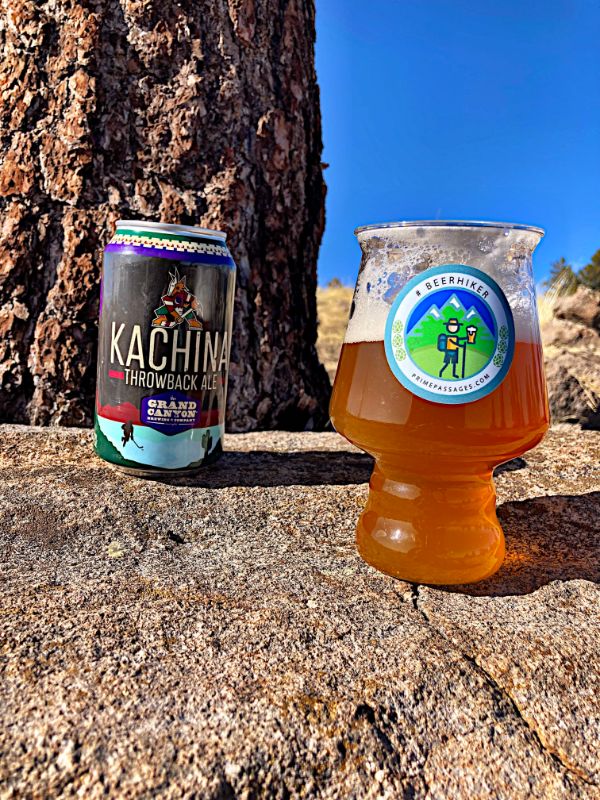
Spring beer 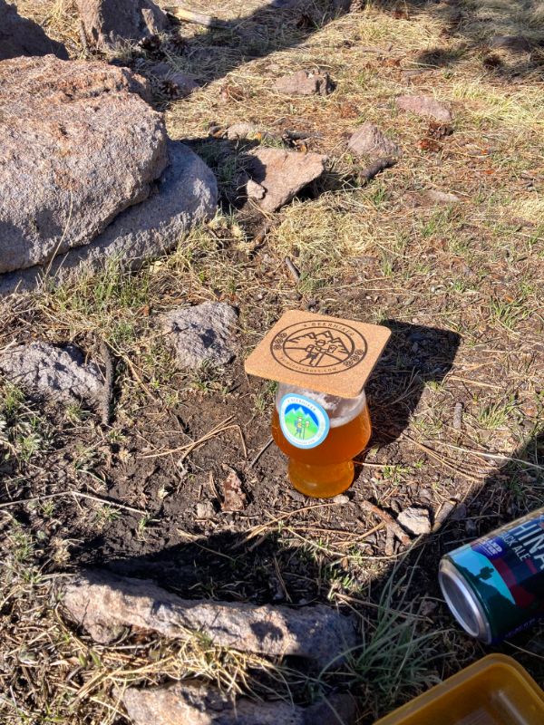
butterfly deckel 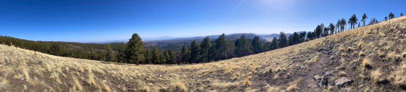
Related stories on Prime Passages: Long-Burro Loop Beer Hike, El Cajete Three Ways, Hidden Valley, more beer, hiking, and travel stories in New Mexico