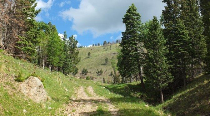
The hike on La Garita trail is a bit of a misnomer, in that it does not climb the nearby Cerro La Garita mountain but instead climbs to a nearby meadow on a high ridge offering spectacular views of a large part of the Valles Caldera in the Jemez Mountains. The ridge is part of the North rim of the Caldera, one of North America’s three super volcanos. It is also adjacent to the northern boundary of the Valles Caldera National Preserve (read my overview of hiking in the Preserve with links to articles on several individual trails here).
 This is a 10.7 mile (17.3 km) hike round trip from the back country van drop-off/pick-up point. The hike starts out at about 8500 feet (2592 m) altitude and has a total ascent of 1900 feet (580 m). The maximum elevation is 10,340 feet (3153 m). I would class this as a moderate to difficult hike given the combination of ascent and altitude, but there is nothing technical about it.
The route starts out following the road along San Antonio Creek, a beautiful trout stream that meanders across the grassland floor of the Valle Toledo. There is infrequent motorized vehicle use of this fairly flat stretch of road. There is a sharp left onto an old logging road that is a non-motorized route and the ascent begins. The route winds up through dense forest eventually reaching a steep traverse across open meadow up to an open gate. The route flattens out at this point eventually reaching a closed gate at the Preserve boundary fence. A foot trail leads along the fence line for a stretch, behind the high point of the ridge. You eventually reach an old logging road that cuts diagonally to the right up and over the crest of the ridge. At that point I felt on top of the world with huge views opening up to the South.


Leave a Reply